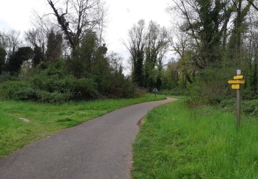
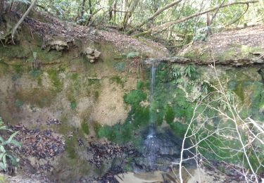
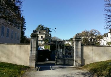
Tocht Stappen Jurançon - chapelle de rousse 2013 - Photo
 potofe
potofe

Gebruiker

© OpenStreetMap contributors
Lengte
Lengte
12,2 km
Max. hoogte
Max. hoogte
331 m
Positief hoogteverschil
403 m
Km-Effort
Km-Effort  
17,4 km
Min. hoogte
Min. hoogte
175 m
Negatief hoogteverschil
351 m
Boucle
Boucle
Neen
Datum van aanmaak :
2018-09-07 19:24:18.516
Laatste wijziging :
2018-09-07 19:24:18.516

(0 Bericht)

Stappen
Stappen
3h26
Moeilijkheid : Gemakkelijk

Scan deze QR-code om de tocht te openen in de SityTrail-applicatie

Gratisgps-wandelapplicatie

Logo SityTrail SityTrail

IGN / Geografische instituten

SityTrail uit de App Store downloaden SityTrail uit Google Play downloaden

Logo SityTrail SityTrail World

De wereld gaat voor u open

SityTrail uit de App Store downloaden SityTrail uit Google Play downloaden SityTrail op Huawei AppGallery downloaden

Over ons

Tocht Stappen van 12,2 km beschikbaar op Nieuw-Aquitanië, Pyrénées-Atlantiques, Jurançon. Deze tocht wordt voorgesteld door potofe.

Hoogteprofiel

Plaatsbepaling

Land:
France
Regio :
Nieuw-Aquitanië
Departement/Provincie :
Pyrénées-Atlantiques
Gemeente :
Jurançon
Locatie:
Unknown
Vertrek:(Dec)
Vertrek:(UTM)
709077 ; 4792633 (30T) N.

Opmerkingen

Gelieve in te loggen om een commentaar of een beoordeling achter te laten


itinéraire à déconseiller surtout sur la deuxième partie car le sentier à disparu dans la forêt.


Wandeltochten in de omgeving

Tocht Stappen Aubertin - AUBERTIN (PPT) de la hélère à la baïse  fait (G3)  2641287 - Photo
Stappen
GUIDE
marmotte65

Stappen

Gemakkelijk
Aubertin, Nieuw-Aquitanië, Pyrénées-Atlantiques, France
12 km | 17,1 km-effort
3h 13min
Ja
Tocht Stappen Billère - BILLÈRE RS  Du golf au chateau de Pau 4079692 - Photo
Stappen
GUIDE
marmotte65

Stappen

Gemakkelijk
Billère, Nieuw-Aquitanië, Pyrénées-Atlantiques, France
4,2 km | 4,9 km-effort
1h 32min
Ja
Tocht Te voet Pau - PAU terra aventura
Te voet
GUIDE
marmotte65

Te voet

Gemakkelijk
Pau, Nieuw-Aquitanië, Pyrénées-Atlantiques, France
4,2 km | 5,2 km-effort
1h 10min
Neen
Tocht Stappen Pau - GR 782 B pont du 14 juillet artiguelouve
Stappen
GUIDE
marmotte65

Stappen

Medium
Pau, Nieuw-Aquitanië, Pyrénées-Atlantiques, France
10,4 km | 11,4 km-effort
2h 38min
Neen
Tocht Andere activiteiten Gan - GAN ecomobolite Patrimoine et geologie   3162323 - Photo
Andere activiteiten
GUIDE
marmotte65

Andere activiteiten

Heel gemakkelijk
Gan, Nieuw-Aquitanië, Pyrénées-Atlantiques, France
5 km | 5,7 km-effort
1h 37min
Ja
Tocht Stappen Jurançon - JURANÇON les coteaux  M1  2902947  - Photo
Stappen
GUIDE
marmotte65

Stappen

Gemakkelijk
Jurançon, Nieuw-Aquitanië, Pyrénées-Atlantiques, France
9 km | 13,2 km-effort
2h 26min
Ja
Tocht Te voet Pau - PAU de la gare / a Laroin - Photo
Te voet
GUIDE
marmotte65

Te voet

Gemakkelijk
Pau, Nieuw-Aquitanië, Pyrénées-Atlantiques, France
8,9 km | 10,4 km-effort
2h 21min
Neen
Tocht Stappen Pau - PAU  parc du chateau - Photo
Stappen
GUIDE
marmotte65

Stappen

Heel gemakkelijk
Pau, Nieuw-Aquitanië, Pyrénées-Atlantiques, France
3,2 km | 3,7 km-effort
1h 14min
Ja
Tocht Stappen Pau - PAU de la ville au gave descriptif -fait pour PPT
Stappen
GUIDE
marmotte65

Stappen

Heel gemakkelijk
Pau, Nieuw-Aquitanië, Pyrénées-Atlantiques, France
6,1 km | 6,7 km-effort
48min
Ja


Sluiten
Mijn abonnementen