


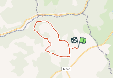

7,9 km | 10,2 km-effort


Gebruiker


Gratisgps-wandelapplicatie
 SityTrail
IGN / Geografische instituten
SityTrail World
De wereld gaat voor u open
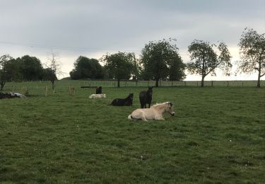
Tocht Paardrijden van 5,9 km beschikbaar op Bourgondië-Franche-Comté, Haute-Saône, Fougerolles-Saint-Valbert. Deze tocht wordt voorgesteld door Bonetto.
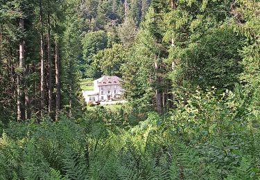
Balade d'1h30-2h à pied ou avec 1 poney en main. 1h à poney
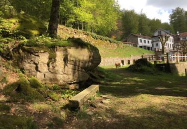
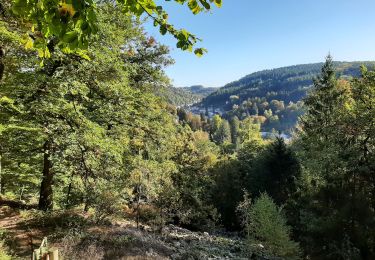
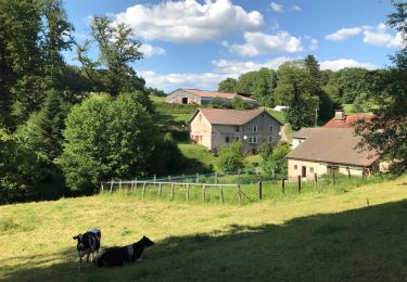
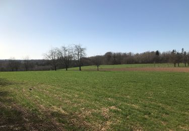
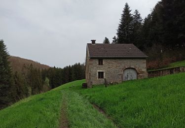
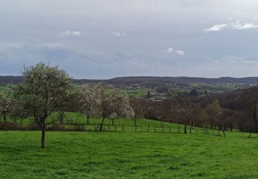
Balade sympa avec dénivelé et paysages panachés

Stappen
Noords wandelen
Paardrijden
Stappen
Paardrijden

Fiets
Stappen
Stappen
Stappen