


6,5 km | 7,2 km-effort

Gebruiker


Gratisgps-wandelapplicatie
 SityTrail
IGN / Geografische instituten
SityTrail World
De wereld gaat voor u open
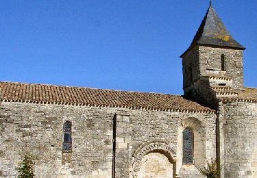
Tocht Stappen van 5,8 km beschikbaar op Nieuw-Aquitanië, Deux-Sèvres, Échiré. Deze tocht wordt voorgesteld door olaze.
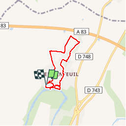
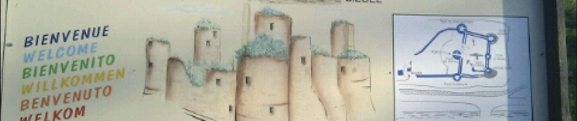
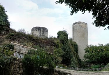
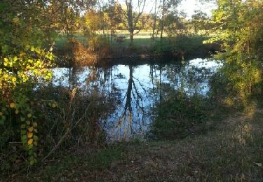
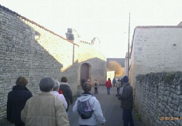
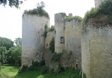
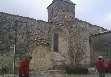
Randonnée autour du chateau Coudray-Salbart (Ternanteuil).
Bonnes pentes . (Ne pas faire par pluie, chemins parfois inondés).Club rando Bessines.
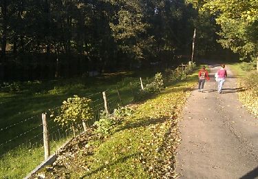
 - Photo 1")
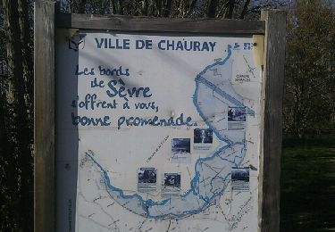
 - Photo 2")
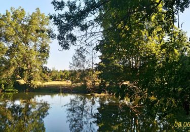
 - Photo 3")
 - Photo 4")
 - Photo 5")
 - Photo 6")
 - Photo 7")
 - Photo 8")
 - Photo 9")
 - Photo 10")
 - Photo 11")
 - Photo 12")
 - Photo 13")
Stappen
Elektrische fiets
Stappen
Stappen
Stappen
Stappen
Stappen
Stappen
Stappen