


12,9 km | 21 km-effort


Gebruiker


Gratisgps-wandelapplicatie
 SityTrail
IGN / Geografische instituten
SityTrail World
De wereld gaat voor u open
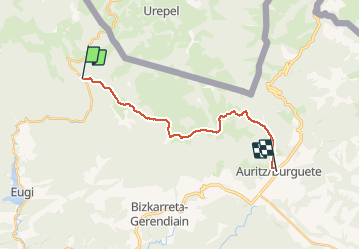
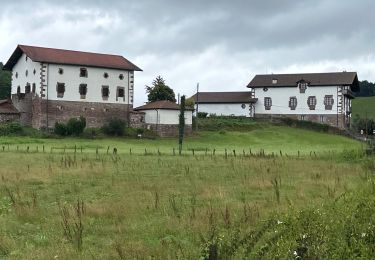
Tocht Stappen van 17,3 km beschikbaar op Navarra - Nafarroa, Onbekend, Baztan. Deze tocht wordt voorgesteld door phelan.
Distance/elevation: 17,5 km / ( 720 m), (-735 m)
Time: 5h05min (walking time without stops).
Difficulty: medium-easy. This is not a long stage and the paths are generally comfortable for walking. Waymarking is good, and except for the ascent from Sorogain to Mendiaundi in foggy conditions, you will have no difficulty following the markings for this stage.
Stappen
Te voet
Stappen

Stappen
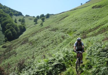
Mountainbike
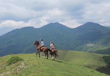
Paard

Lopen

Mountainbike
Paardrijden