


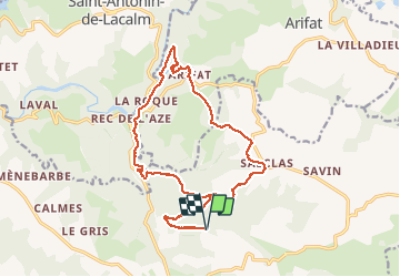

8,3 km | 11,1 km-effort


Gebruiker


Gratisgps-wandelapplicatie
 SityTrail
IGN / Geografische instituten
SityTrail World
De wereld gaat voor u open
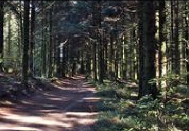
Tocht Stappen van 20 km beschikbaar op Occitanië, Tarn, Montredon-Labessonnié. Deze tocht wordt voorgesteld door Frayssinet.
En partant de lagrifoul, direction Salclas, vous êtes à mi parcours à Arifat et retour sur un chemin parfois non balisé qui évite la route. Savoir s'orienter est indispensable.

Te voet
Stappen
Stappen
Stappen
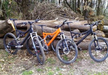
Mountainbike

Stappen

Elektrische fiets
Stappen