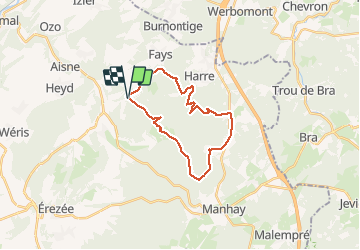

8,1 km | 10,8 km-effort

Gebruiker GUIDE


Gratisgps-wandelapplicatie
 SityTrail
IGN / Geografische instituten
SityTrail World
De wereld gaat voor u open
Tocht Stappen van 21 km beschikbaar op Wallonië, Luxemburg, Manhay. Deze tocht wordt voorgesteld door japy54.
belle randonnée malheureusement nous avons dû emprunter 4km de petite route a la fin pour éviter les chemins privés surveillés par caméra !!!!incroyable mais vrai


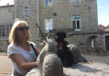
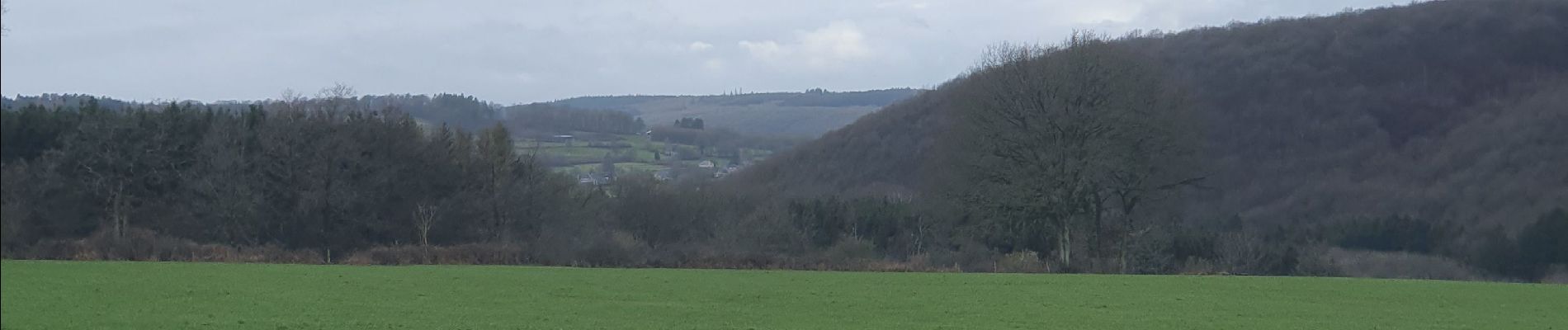
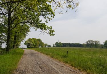
Stappen

Stappen
Stappen
Stappen
Stappen
Stappen
Stappen
Stappen