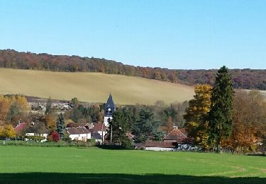
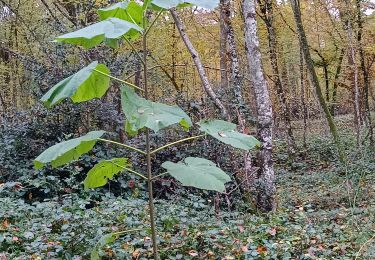
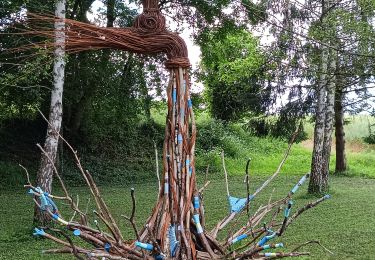
9,4 km | 12 km-effort
vauchassis
© OpenStreetMap contributors
Stappen
1h16
Moeilijkheid : Heel gemakkelijk
Lengte
5,2 km
Max. hoogte
271 m
Positief hoogteverschil
48 m
Km-Effort
5,9 km
Min. hoogte
245 m
Negatief hoogteverschil
49 m
Boucle
Ja
Datum van aanmaak :
2020-02-24 15:28:13.71
Laatste wijziging :
2020-02-24 16:45:33.967
1h16
Moeilijkheid : Heel gemakkelijk
Gratisgps-wandelapplicatie
Over ons
Tocht Stappen van 5,2 km beschikbaar op Grand Est, Aube, Vauchassis. Deze tocht wordt voorgesteld door Philippe Henry2dd8a6e4ef8cd4299a219ccc73621a994.
Plaatsbepaling
Land:
France
Regio :
Grand Est
Departement/Provincie :
Aube
Gemeente :
Vauchassis
Locatie:
Unknown
Vertrek:(Dec)
Vertrek:(UTM)
567060 ; 5341100 (31U) N.
Opmerkingen
Wandeltochten in de omgeving
Le chemin du patrimoine du Valdreux
Stappen
Heel gemakkelijk
(1)
Chennegy,
Grand Est,
Aube,
France
8,6 km | 10,5 km-effort
1h 57min
Ja
montaigutour toto aout217
Mountainbike
Moeilijk
(1)
Laines-aux-Bois,
Grand Est,
Aube,
France
31 km | 42 km-effort
3h 6min
Ja
cource xc cwb Laines Aux Bois 2017
Mountainbike
Moeilijk
(3)
Laines-aux-Bois,
Grand Est,
Aube,
France
6,6 km | 9,9 km-effort
38min
Ja
Laines Aux Bois
Stappen
Medium
Laines-aux-Bois,
Grand Est,
Aube,
France
8 km | 10,2 km-effort
2h 11min
Ja
Lainesauxbois7kmPR
Stappen
Medium
(1)
Laines-aux-Bois,
Grand Est,
Aube,
France
7 km | 9 km-effort
2h 3min
Ja
Vauchassis Eaux Puiseaux Auxon Joigny Javernant Vauchassis
Elektrische fiets
Gemakkelijk
Vauchassis,
Grand Est,
Aube,
France
49 km | 57 km-effort
4h 26min
Ja
Laines aux Bois
Stappen
Moeilijk
(1)
Laines-aux-Bois,
Grand Est,
Aube,
France
9,5 km | 12,1 km-effort
2h 46min
Ja
Au dessus de BUCEY EN OTHE
Stappen
Medium
Bucey-en-Othe,
Grand Est,
Aube,
France
9 km | 11,1 km-effort
2h 44min
Ja