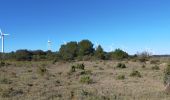
Tocht Stappen Conilhac-Corbières - CONILHAC Les Eoliennes - Photo

CONILHAC Les Eoliennes

 Licianus2
Licianus2

Gebruiker

© OpenStreetMap contributors
Lengte
Lengte
7,4 km
Max. hoogte
Max. hoogte
198 m
Positief hoogteverschil
160 m
Km-Effort
Km-Effort  
9,5 km
Min. hoogte
Min. hoogte
83 m
Negatief hoogteverschil
160 m
Boucle
Boucle
Ja
Datum van aanmaak :
2020-02-20 13:05:32.674
Laatste wijziging :
2024-02-08 18:55:20.928

(1 Bericht)

Stappen
Stappen
1h27
Moeilijkheid : Heel gemakkelijk

Scan deze QR-code om de tocht te openen in de SityTrail-applicatie

Gratisgps-wandelapplicatie

Logo SityTrail SityTrail

IGN / Geografische instituten

SityTrail uit de App Store downloaden SityTrail uit Google Play downloaden

Logo SityTrail SityTrail World
De wereld gaat voor u open

SityTrail uit de App Store downloaden SityTrail uit Google Play downloaden SityTrail op Huawei AppGallery downloaden

Over ons

Tocht Stappen van 7,4 km beschikbaar op Occitanië, Aude, Conilhac-Corbières. Deze tocht wordt voorgesteld door Licianus2.

Beschrijving

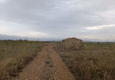
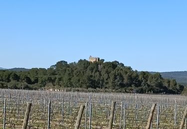
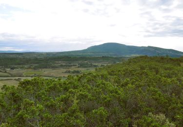
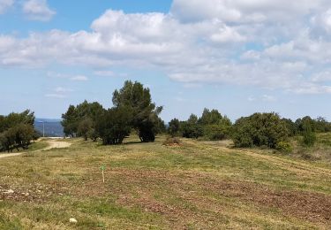
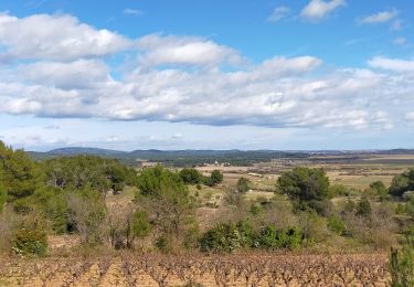
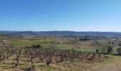
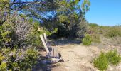
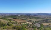
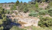
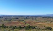
Petite boucle au dessus de Conilhac-Corbières autour des éoliennes de Lézignan et de Conilhac-Corbières. Quelques pistes et quelques sentiers, facile mais pas très ombragé ni très abrité du cers (vent du nord). Comme sur beaucoup de circuits dans le secteur, pas mal de cailloux justifiant de bonnes chaussures. Par contre, de magnifiques vues sur la plaine de Lézignan et de Montbrun. Panoramiques sur les Corbières, l’Alaric, la Montagne Noire et même les Pyrénées enneigées par beau temps.

Hoogteprofiel

Foto's

Plaatsbepaling

Land:
France
Regio :
Occitanië
Departement/Provincie :
Aude
Gemeente :
Conilhac-Corbières
Locatie:
Unknown
Vertrek:(UTM)
476974 ; 4781860 (31T) N.

Opmerkingen

Gelieve in te loggen om een commentaar of een beoordeling achter te laten


Wandeltochten in de omgeving

Tocht Stappen Montbrun-des-Corbières - Montbrun - Photo
Stappen
belhache

Stappen

Heel gemakkelijk
(1)
Montbrun-des-Corbières, Occitanië, Aude, France
9,3 km | 11,6 km-effort
2h 21min
Ja
Tocht Stappen Lézignan-Corbières - La Roche Trouée (2) - Photo
Stappen
jacques delaporte

Stappen

Zeer moeilijk
Lézignan-Corbières, Occitanië, Aude, France
21 km | 24 km-effort
4h 31min
Ja
Tocht Stappen Lézignan-Corbières - Lézignan Corbières-Argens Minervois-Olonzac - Photo
Stappen
jacques delaporte

Stappen

Medium
Lézignan-Corbières, Occitanië, Aude, France
40 km | 45 km-effort
8h 10min
Ja
Tocht Stappen Montbrun-des-Corbières - MONTBRUN DES CORBIERES rocher du renard - Photo
Stappen
Licianus2

Stappen

Gemakkelijk
Montbrun-des-Corbières, Occitanië, Aude, France
7,4 km | 9,3 km-effort
1h 30min
Ja
Tocht Stappen Lézignan-Corbières - Lézignan Corbières - Fontarèche- Relais des Corbières  - Photo
Stappen
jacques delaporte

Stappen

Medium
Lézignan-Corbières, Occitanië, Aude, France
23 km | 26 km-effort
5h 38min
Ja
Tocht Stappen Lézignan-Corbières - LEZIGNAN La pinède par les éoliennes - Photo
Stappen
Licianus2

Stappen

Medium
Lézignan-Corbières, Occitanië, Aude, France
8,5 km | 10,9 km-effort
2h 14min
Ja
Tocht Stappen Escales - ESCALES - La tour Romane - Photo
Stappen
Licianus2

Stappen

Heel gemakkelijk
(1)
Escales, Occitanië, Aude, France
4,2 km | 5,6 km-effort
1h 5min
Ja
Tocht Stappen Fontcouverte - FONCOUVERTE - variante au tracé balisé - Photo
Stappen
Licianus2

Stappen

Gemakkelijk
(1)
Fontcouverte, Occitanië, Aude, France
7,8 km | 10 km-effort
2h 6min
Ja
Tocht Stappen Conilhac-Corbières - CONILHAC - lausines - Photo
Stappen
Licianus2

Stappen

Heel gemakkelijk
Conilhac-Corbières, Occitanië, Aude, France
4,8 km | 6,6 km-effort
1h 31min
Ja


Sluiten
Mijn abonnementen