


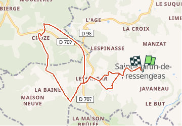

12 km | 14,4 km-effort


Gebruiker


Gratisgps-wandelapplicatie
 SityTrail
IGN / Geografische instituten
SityTrail World
De wereld gaat voor u open
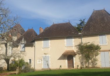
Tocht Stappen van 9,9 km beschikbaar op Nieuw-Aquitanië, Dordogne, Saint-Martin-de-Fressengeas. Deze tocht wordt voorgesteld door YV24.
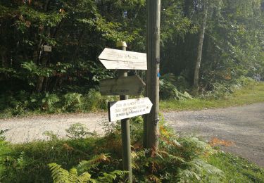
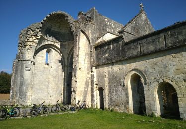
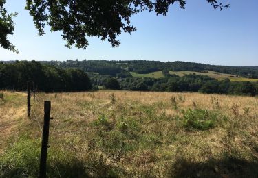
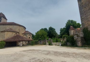
Carte des 3 circuits en libre service au parking. Balisage exemplaire. Belle portion de voie verte. Parcours agréable et varié.
Stappen

Stappen
Mountainbike
Stappen

Lopen
Stappen
Stappen
Stappen
Stappen