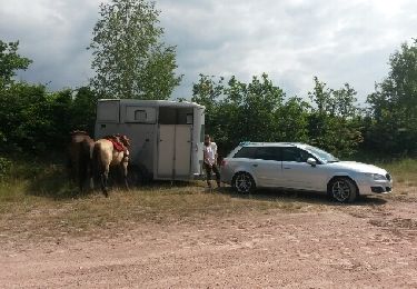
22 km | 33 km-effort
rdpr ville 2019
stempfel52
Gebruiker GUIDE
Lengte
8,8 km
Max. hoogte
464 m
Positief hoogteverschil
303 m
Km-Effort
12,8 km
Min. hoogte
258 m
Negatief hoogteverschil
304 m
Boucle
Ja
Datum van aanmaak :
2020-02-11 08:11:03.699
Laatste wijziging :
2020-02-12 15:55:40.958
2h52
Moeilijkheid : Medium
Gratisgps-wandelapplicatie
Over ons
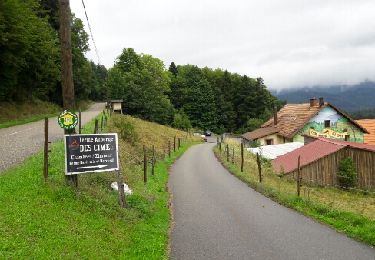
Tocht Stappen van 8,8 km beschikbaar op Grand Est, Bas-Rhin, Villé. Deze tocht wordt voorgesteld door stempfel52.
Plaatsbepaling
Land:
France
Regio :
Grand Est
Departement/Provincie :
Bas-Rhin
Gemeente :
Villé
Locatie:
Unknown
Vertrek:(Dec)
Vertrek:(UTM)
374539 ; 5355777 (32U) N.
Opmerkingen
Wandeltochten in de omgeving
St Pierre Bois - Ortembourg 14062014
Paard
Heel gemakkelijk
(1)
Saint-Pierre-Bois,
Grand Est,
Bas-Rhin,
France
25 km | 36 km-effort
5h 14min
Ja
Circuit de la Gadouille
Mountainbike
Moeilijk
(3)
Thanvillé,
Grand Est,
Bas-Rhin,
France
18,4 km | 27 km-effort
1h 40min
Ja
17.05.2020 - Saint Martin
Stappen
Gemakkelijk
(1)
Saint-Martin,
Grand Est,
Bas-Rhin,
France
12,2 km | 17,7 km-effort
3h 56min
Ja
Honel
Mountainbike
Medium
(1)
Maisonsgoutte,
Grand Est,
Bas-Rhin,
France
15 km | 22 km-effort
1h 26min
Ja
2024-07-23_20h26m34_G 12
Stappen
Gemakkelijk
(1)
Breitenau,
Grand Est,
Bas-Rhin,
France
15,4 km | 22 km-effort
4h 59min
Ja
Col de la Charbonnière - château de la Roche - Bellefosse - Belmont
Stappen
Zeer moeilijk
Bellefosse,
Grand Est,
Bas-Rhin,
France
15,7 km | 24 km-effort
5h 27min
Ja
20230309_BREITENAU_rando_Breitenau_Le Rocher du Coucou - Le Château du Franke...
Stappen
Medium
Breitenau,
Grand Est,
Bas-Rhin,
France
14,5 km | 24 km-effort
5h 24min
Ja
Col de la Charbonnière -Château de la Roche
Stappen
Medium
Breitenbach,
Grand Est,
Bas-Rhin,
France
16,2 km | 24 km-effort
4h 20min
Ja