


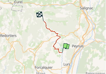


11,1 km | 15,6 km-effort


Gebruiker


Gratisgps-wandelapplicatie
 SityTrail
IGN / Geografische instituten
SityTrail World
De wereld gaat voor u open
Tocht Paardrijden van 25 km beschikbaar op Provence-Alpes-Côte d'Azur, Alpes-de-Haute-Provence, Sigonce. Deze tocht wordt voorgesteld door les granges.
Blache - Cruis - Jas Roche - Chapelle ND Lure - Station de Ski
Gite des Crêtes de Lure 0492731914
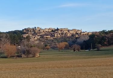
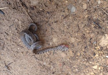
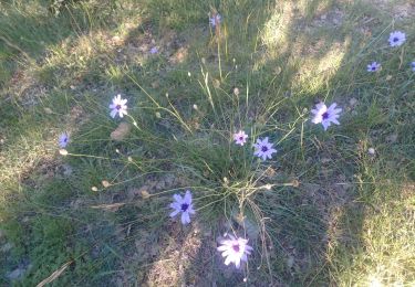
 - Photo 1")
Stappen

Stappen

Stappen
Stappen
Te voet

Mountainbike
Stappen
Stappen

Stappen