


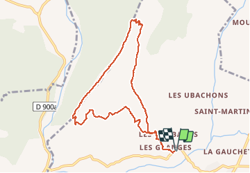

11,1 km | 18,4 km-effort


Gebruiker GUIDE


Gratisgps-wandelapplicatie
 SityTrail
IGN / Geografische instituten
SityTrail World
De wereld gaat voor u open
Tocht Stappen van 9,9 km beschikbaar op Provence-Alpes-Côte d'Azur, Alpes-de-Haute-Provence, Marcoux. Deze tocht wordt voorgesteld door RobinMicheline.
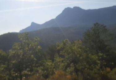
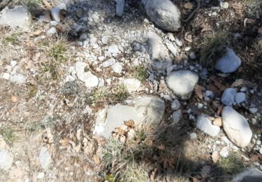
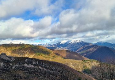
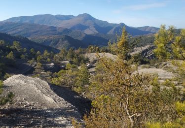
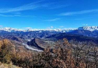
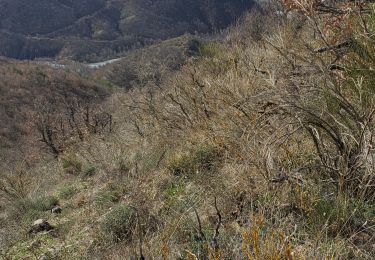
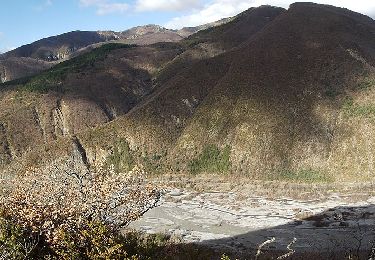
Bien indiquer , ne pas faire sous grosse chaleur , montee un peu raide , belle vue sommet des 2 vallees , ne pas faire par temps humide grosses pierres glissantes

Stappen
Stappen
Stappen
Stappen
Stappen
Stappen
Stappen
Te voet

Stappen