


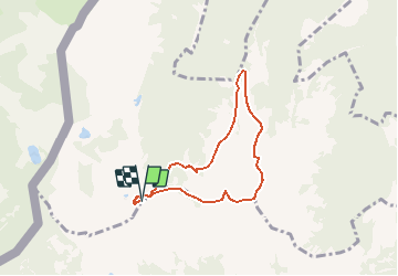

5,7 km | 10,6 km-effort


Gebruiker


Gratisgps-wandelapplicatie
 SityTrail
IGN / Geografische instituten
SityTrail World
De wereld gaat voor u open
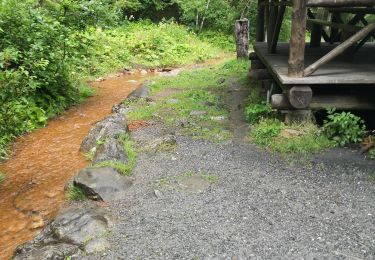
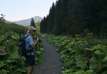
Tocht Andere activiteiten van 6,1 km beschikbaar op Valais/Wallis, Monthey, Collombey-Muraz. Deze tocht wordt voorgesteld door asc.
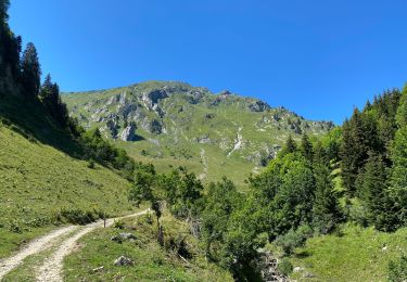
Ascension de la Ruinette par le col de la Lire, depuis le bas du barrage de Mauvoisin

Sneeuwschoenen

Sneeuwschoenen
Stappen

Sneeuwschoenen

Stappen
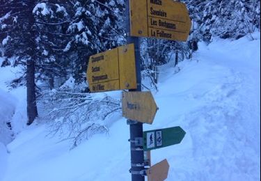
Sneeuwschoenen
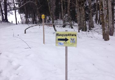
Sneeuwschoenen
Stappen
Stappen