


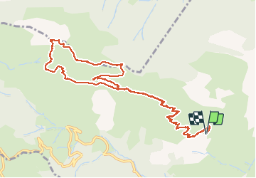

8,8 km | 14,3 km-effort

Gebruiker


Gratisgps-wandelapplicatie
 SityTrail
IGN / Geografische instituten
SityTrail World
De wereld gaat voor u open
Tocht Stappen van 14,2 km beschikbaar op Nieuw-Aquitanië, Pyrénées-Atlantiques, Osse-en-Aspe. Deze tocht wordt voorgesteld door bedous.
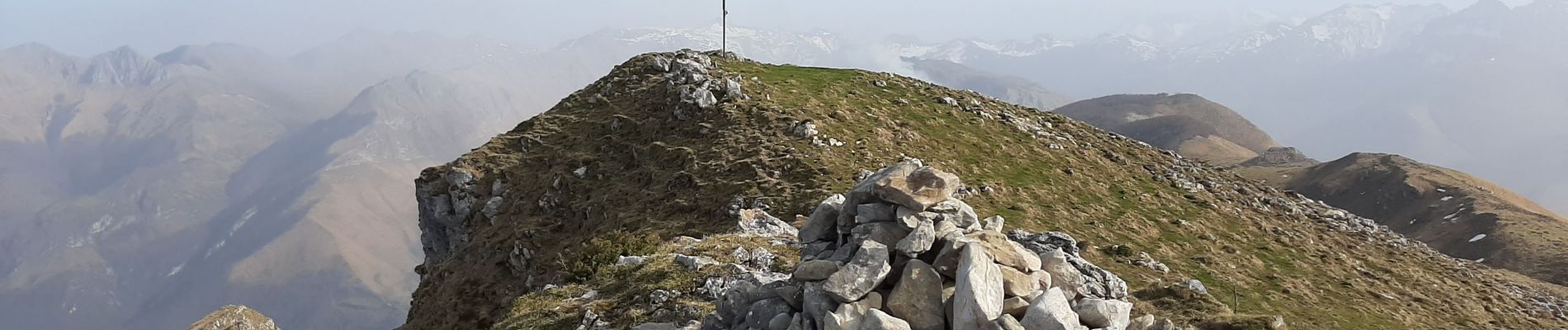
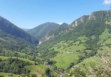
Rando face sud (peut se faire en hiver), pas de bois, magnifiques vues sur la vallée d'Aspe et les vallée environnantes.


Stappen
Stappen

Stappen

Stappen

Te voet

Te voet

Te voet

Te voet
Te voet