


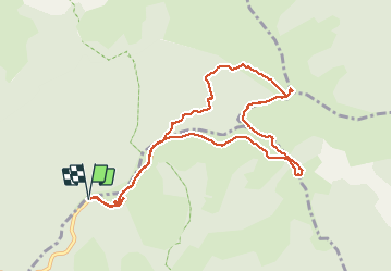

6,5 km | 10,5 km-effort

Gebruiker


Gratisgps-wandelapplicatie
 SityTrail
IGN / Geografische instituten
SityTrail World
De wereld gaat voor u open
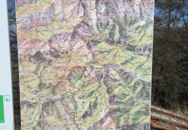
Tocht Sneeuwschoenen van 10,6 km beschikbaar op Provence-Alpes-Côte d'Azur, Alpes-Maritimes, Moulinet. Deze tocht wordt voorgesteld door aris.
Pas de difficultés, sauf le couloir un peu raide et hors sentier entre la vacherie de l'Ortiguier et le fort de la Redoute : neige dure, crampons nécessaires.
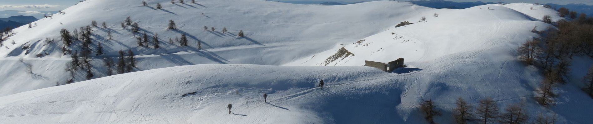
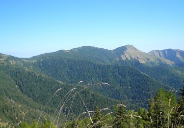
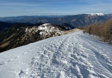
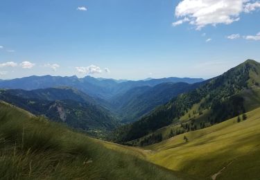
Magnifiques vues sur le Mercantour (Bégo, Cime du Diable...) et la Corse


Te voet

Te voet
Te voet
Sneeuwschoenen
Stappen

Stappen
Stappen
Stappen
Stappen