


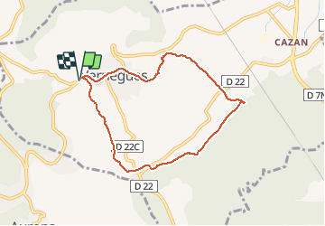

7,1 km | 9 km-effort

Gebruiker GUIDE


Gratisgps-wandelapplicatie
 SityTrail
IGN / Geografische instituten
SityTrail World
De wereld gaat voor u open
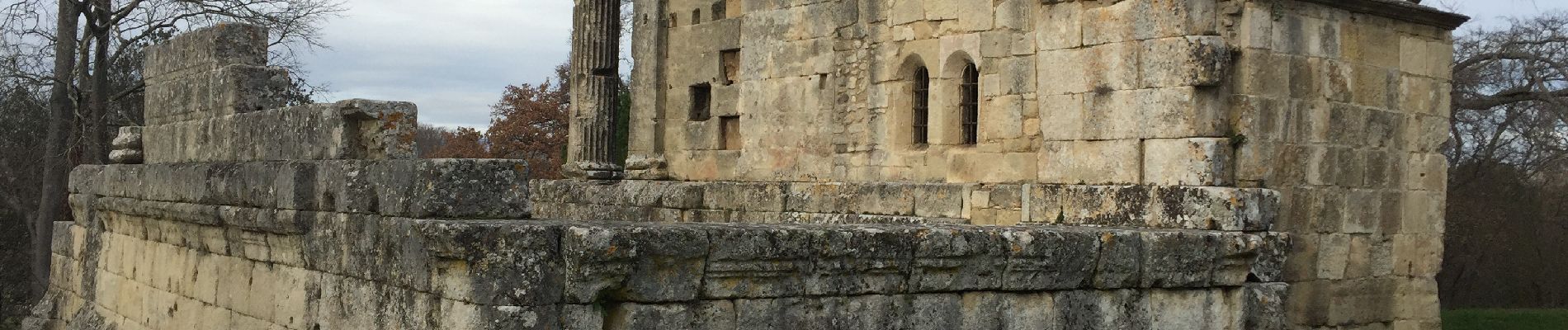
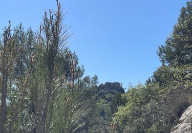
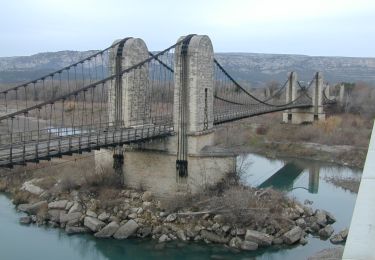
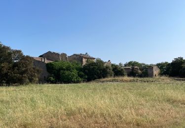
Tocht Stappen van 7,6 km beschikbaar op Provence-Alpes-Côte d'Azur, Bouches-du-Rhône, Vernègues. Deze tocht wordt voorgesteld door MicDul.
Départ du parking à la sortie de Vernègues direction Salon de Provence en venant de Cazan.


Stappen
Stappen
Stappen

Andere activiteiten

Stappen

Mountainbike
Stappen
Stappen
Stappen