


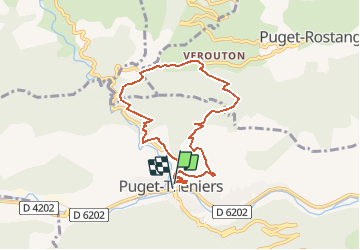

9,1 km | 17,8 km-effort


Gebruiker


Gratisgps-wandelapplicatie
 SityTrail
IGN / Geografische instituten
SityTrail World
De wereld gaat voor u open
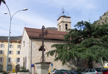
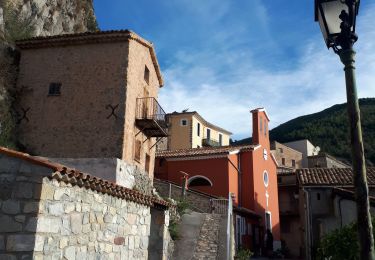
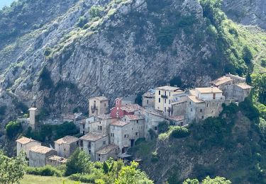
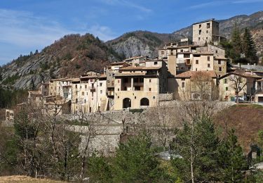
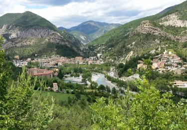
Tocht Te voet van 7,7 km beschikbaar op Provence-Alpes-Côte d'Azur, Alpes-Maritimes, Puget-Théniers. Deze tocht wordt voorgesteld door Renefrt.
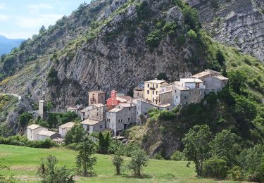
Rando bien sympathique au dessus de ce joli village ou quelques portes sont peintes. A commencer du côté gauche.
On la trouve sur randoxygene.
Te voet
Te voet

Stappen
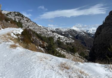
Sneeuwschoenen
Stappen
Stappen
Te voet
Stappen
Stappen