

Le Prat Redon

rene091957
Gebruiker

Lengte
14,5 km

Max. hoogte
1766 m

Positief hoogteverschil
584 m

Km-Effort
22 km

Min. hoogte
1251 m

Negatief hoogteverschil
577 m
Boucle
Neen
Datum van aanmaak :
2020-01-25 18:20:25.798
Laatste wijziging :
2020-01-25 18:29:31.816
--
Moeilijkheid : Medium

Gratisgps-wandelapplicatie
Over ons
Tocht Te voet van 14,5 km beschikbaar op Occitanië, Pyrénées-Orientales, Latour-de-Carol. Deze tocht wordt voorgesteld door rene091957.
Beschrijving
Latour de Carol : passage à niveau d'Yravals, Chemin de Saint-Pierre (GR jusqu'à la borne frontière 445 ) jusqu'au Prat Redon, descente vers le Pont de Riutès (PR), longer le Querol vers Latour de Carol.
Plaatsbepaling
Land:
France
Regio :
Occitanië
Departement/Provincie :
Pyrénées-Orientales
Gemeente :
Latour-de-Carol
Locatie:
Unknown
Vertrek:(Dec)
Vertrek:(UTM)
408722 ; 4701714 (31T) N.
Opmerkingen
Wandeltochten in de omgeving

de Ur vers La Chapelle de Belloc


Stappen
Gemakkelijk
(1)
Ur,
Occitanië,
Pyrénées-Orientales,
France

20 km | 28 km-effort
7h 14min
Ja
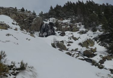
2021-02-10 Sortie CAF - Port de Maurà depuis Dorres


Sneeuwschoenen
Moeilijk
Dorres,
Occitanië,
Pyrénées-Orientales,
France

17,9 km | 31 km-effort
9h 0min
Ja
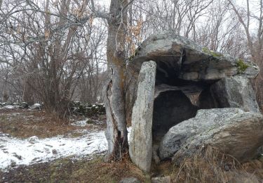
2021-02-09 Sortie CAF - Dorres - Chapelle de Belloc - Dolmen de Brangoli


Stappen
Gemakkelijk
Dorres,
Occitanië,
Pyrénées-Orientales,
France

13 km | 19,3 km-effort
5h 0min
Ja
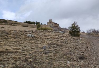
d'ores 2


Stappen
Medium
Dorres,
Occitanië,
Pyrénées-Orientales,
France

7,7 km | 11,1 km-effort
2h 46min
Ja
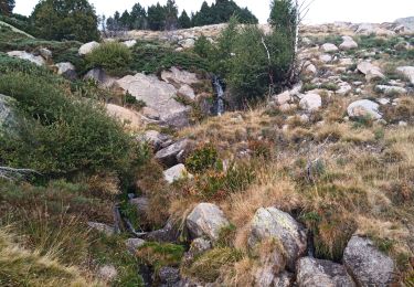
Bena


Stappen
Medium
Enveitg,
Occitanië,
Pyrénées-Orientales,
France

11,9 km | 21 km-effort
3h 32min
Neen
Le chemin du Belloc


Stappen
Dorres,
Occitanië,
Pyrénées-Orientales,
France

5,6 km | 8,9 km-effort
1h 44min
Neen
Dorres vers les estanyets


Stappen
Moeilijk
Dorres,
Occitanië,
Pyrénées-Orientales,
France

18 km | 30 km-effort
8h 49min
Ja
ur


Stappen
Heel gemakkelijk
Ur,
Occitanië,
Pyrénées-Orientales,
France

18,5 km | 26 km-effort
7h 5min
Neen
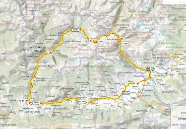
Traversée d'Andorre D+3000m


Wegfiets
Zeer moeilijk
Ur,
Occitanië,
Pyrénées-Orientales,
France

137 km | 177 km-effort
10h 42min
Ja


 SityTrail


