


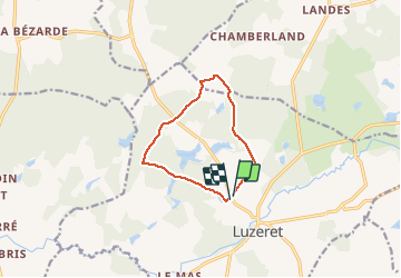

15,3 km | 19,5 km-effort


Gebruiker


Gratisgps-wandelapplicatie
 SityTrail
IGN / Geografische instituten
SityTrail World
De wereld gaat voor u open
Tocht Stappen van 8,8 km beschikbaar op Centre-Val de Loire, Indre, Luzeret. Deze tocht wordt voorgesteld door Phil36.
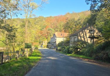
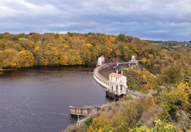
La forêt couvre près d'un tiers de la commune . Autant dire que cette balade vous met à l'ombre pour quelque temps ! Du taillis à la futaie, d'un étang à une cloture, promenez-vous sur les traces des bûcherons, qui côtoyaient jadis les loups très présents dans ce secteur...

Te voet

Stappen
Stappen
Stappen
Stappen
Stappen
Stappen

Te voet
Stappen