10,1 km | 16,9 km-effort
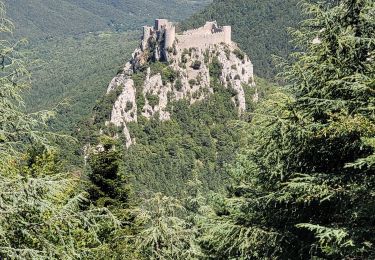
Puilaurens Chateau
livfoss
Gebruiker
Lengte
3,3 km
Max. hoogte
681 m
Positief hoogteverschil
220 m
Km-Effort
6,2 km
Min. hoogte
458 m
Negatief hoogteverschil
215 m
Boucle
Ja
Datum van aanmaak :
2014-12-10 00:00:00.0
Laatste wijziging :
2014-12-10 00:00:00.0
1h12
Moeilijkheid : Gemakkelijk
Gratisgps-wandelapplicatie
Over ons
Tocht Stappen van 3,3 km beschikbaar op Occitanië, Aude. Deze tocht wordt voorgesteld door livfoss.
Beschrijving
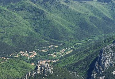
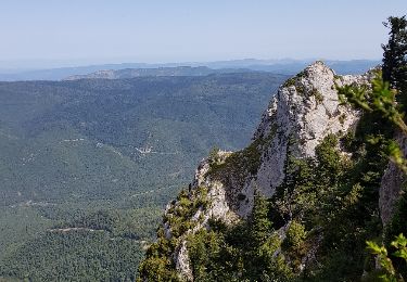
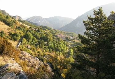
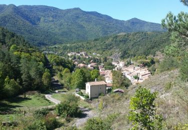
Cathar chateau. Route taken is from the village, not the car park. Amazing view. A slog, but not difficult.
POI's
Plaatsbepaling
Land:
France
Regio :
Occitanië
Departement/Provincie :
Aude
Gemeente :
PUILAURENS
Locatie:
Unknown
Vertrek:(Dec)
Vertrek:(UTM)
443111 ; 4738934 (31T) N.
Opmerkingen
Wandeltochten in de omgeving
Le Caunil. Maison forestière par Puylaurens
Stappen
Moeilijk
Salvezines,
Occitanië,
Aude,
France
10 km | 16,2 km-effort
2h 45min
Ja
La forêt d en Malo depuis le Caunil (11)
Stappen
Medium
(1)
Salvezines,
Occitanië,
Aude,
France
13,2 km | 22 km-effort
5h 22min
Ja
axat château de puylaurens
Stappen
Gemakkelijk
Axat,
Occitanië,
Aude,
France
22 km | 33 km-effort
6h 27min
Ja
Autour du Pic d'Estable - Salvezine
Stappen
Moeilijk
Salvezines,
Occitanië,
Aude,
France
16,1 km | 27 km-effort
5h 30min
Ja
château de Puilaurens
Stappen
Heel gemakkelijk
Puilaurens,
Occitanië,
Aude,
France
13,7 km | 21 km-effort
4h 40min
Ja
11_Aigues Bonnes_Quirbajou_J4
Stappen
Moeilijk
Puilaurens,
Occitanië,
Aude,
France
26 km | 39 km-effort
9h 51min
Neen
Cathares E6 Puilaurens - Prugnanes 07.06.2019
Stappen
Moeilijk
Puilaurens,
Occitanië,
Aude,
France
25 km | 36 km-effort
7h 30min
Neen
5 ème étapes cathares
Stappen
Moeilijk
Puilaurens,
Occitanië,
Aude,
France
27 km | 41 km-effort
9h 56min
Neen