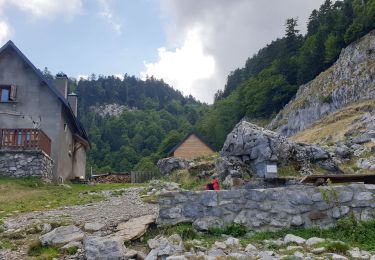
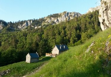
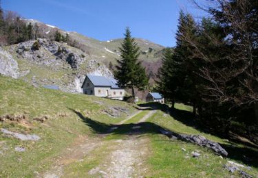
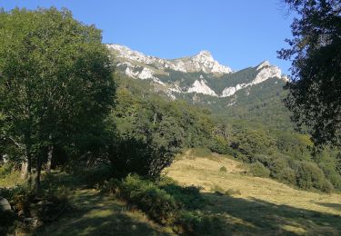
12,1 km | 23 km-effort
Cagire
lhomme.ph
Gebruiker GUIDE
Lengte
10,4 km
Max. hoogte
1899 m
Positief hoogteverschil
791 m
Km-Effort
21 km
Min. hoogte
1289 m
Negatief hoogteverschil
793 m
Boucle
Ja
Datum van aanmaak :
2014-12-10 00:00:00.0
Laatste wijziging :
2014-12-10 00:00:00.0
3h00
Moeilijkheid : Heel gemakkelijk
Gratisgps-wandelapplicatie
Over ons
Tocht Stappen van 10,4 km beschikbaar op Occitanië, Haute-Garonne, Boutx. Deze tocht wordt voorgesteld door lhomme.ph.
Plaatsbepaling
Land:
France
Regio :
Occitanië
Departement/Provincie :
Haute-Garonne
Gemeente :
Boutx
Locatie:
Unknown
Vertrek:(Dec)
Vertrek:(UTM)
317320 ; 4754291 (31T) N.
Opmerkingen
Wandeltochten in de omgeving
LARREIX à CAGIRE - Rando avec Léo 5ans
Stappen
Moeilijk
Sengouagnet,
Occitanië,
Haute-Garonne,
France
5 km | 11,2 km-effort
3h 52min
Ja
col de Mente-Larreix-Cagire-Escalette-retour
Stappen
Moeilijk
(1)
Boutx,
Occitanië,
Haute-Garonne,
France
11,7 km | 22 km-effort
6h 13min
Ja
Tuc de l'Etang et Pic d'Escales
Stappen
Moeilijk
Boutx,
Occitanië,
Haute-Garonne,
France
5,8 km | 11,3 km-effort
2h 55min
Ja
Pic de Cagire
Stappen
Zeer moeilijk
Boutx,
Occitanië,
Haute-Garonne,
France
10,5 km | 19,9 km-effort
5h 10min
Ja
pic de Cagire en boucle depuis le col de Menté
Stappen
Moeilijk
Boutx,
Occitanië,
Haute-Garonne,
France
12 km | 23 km-effort
6h 46min
Ja
SityTrail - GR86new
Stappen
Zeer moeilijk
Boutx,
Occitanië,
Haute-Garonne,
France
9,1 km | 16,4 km-effort
70h 32min
Neen
2021-02-16 raquettes le mourtis
Sneeuwschoenen
Gemakkelijk
Boutx,
Occitanië,
Haute-Garonne,
France
3,5 km | 7,9 km-effort
10min
Ja
03-01-2021 Mourtis tuc de l’étang
Sneeuwschoenen
Gemakkelijk
Boutx,
Occitanië,
Haute-Garonne,
France
3,9 km | 7,2 km-effort
1h 21min
Ja