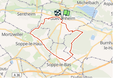

27 km | 40 km-effort


Gebruiker


Gratisgps-wandelapplicatie
 SityTrail
IGN / Geografische instituten
SityTrail World
De wereld gaat voor u open
Tocht Mountainbike van 13,5 km beschikbaar op Grand Est, Haut-Rhin, Guewenheim. Deze tocht wordt voorgesteld door zheppi.
Circuit familial
départ salle polyvalente
stèle Payard
hauteurs de Sope
Terrain ULM
Terrain Cross
retour terrain de foot

Stappen

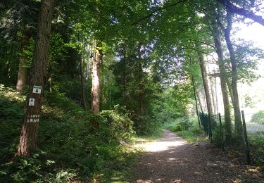
Te voet

Te voet

Stappen

Stappen
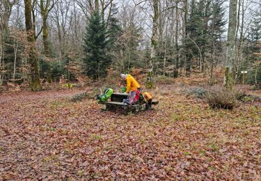
Stappen

Mountainbike