


3,2 km | 3,6 km-effort


Gebruiker


Gratisgps-wandelapplicatie
 SityTrail
IGN / Geografische instituten
SityTrail World
De wereld gaat voor u open
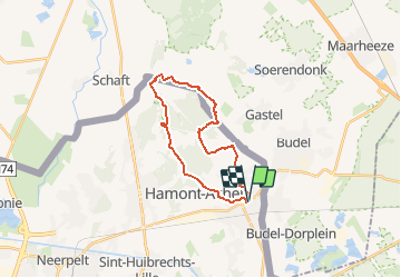
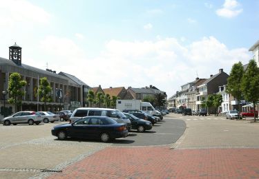
Tocht Stappen van 19,5 km beschikbaar op Vlaanderen, Limburg, Hamont-Achel. Deze tocht wordt voorgesteld door flip96.
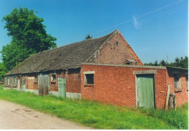
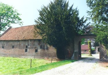
Vierde EXTRA/4b rondwandeling Peerkepad. Tussen Hamont-Achel en Achelse Kluis.
20km. Ca. 110 meter stijging/afdaling.
Route is NIET gemarkeerd.
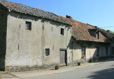
Te voet
Te voet
Te voet
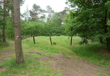
Te voet
Te voet
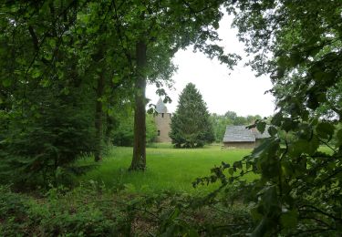
Te voet
Te voet
Te voet

Te voet