


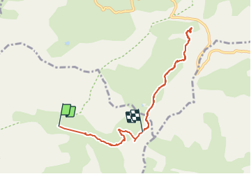


16,3 km | 27 km-effort

Gebruiker


Gratisgps-wandelapplicatie
 SityTrail
IGN / Geografische instituten
SityTrail World
De wereld gaat voor u open
Tocht Stappen van 8,9 km beschikbaar op Provence-Alpes-Côte d'Azur, Alpes-de-Haute-Provence, Uvernet-Fours. Deze tocht wordt voorgesteld door BLANCHET.
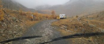
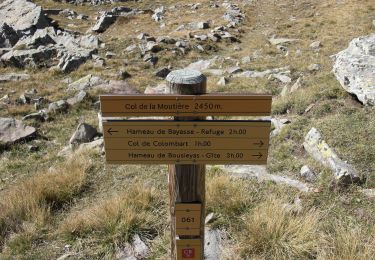
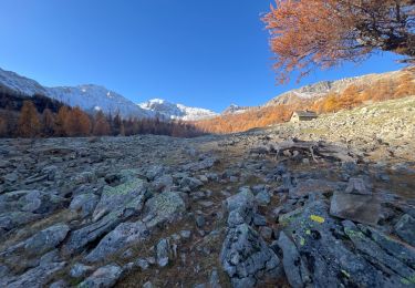
Départ au chalet de la Moutière, repas sous un blockhaus de la ligne Maginot.
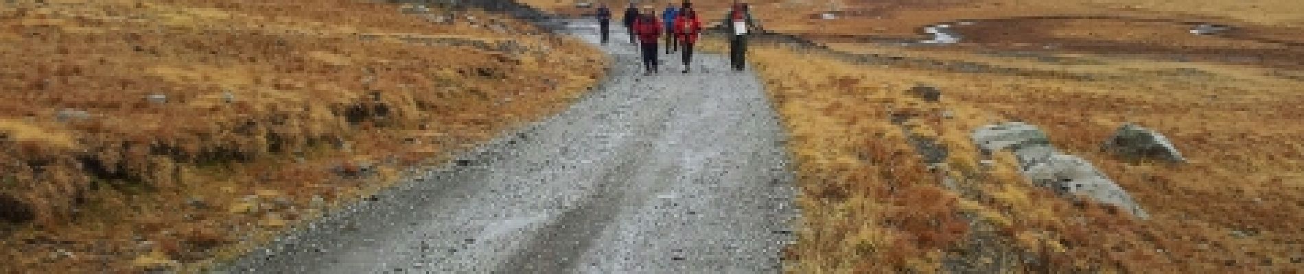
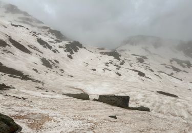
Rando sous la pluie.


Stappen

Stappen

Stappen

Stappen
Te voet
Stappen
Stappen
Stappen
Stappen