


9,3 km | 10,7 km-effort


Gebruiker


Gratisgps-wandelapplicatie
 SityTrail
IGN / Geografische instituten
SityTrail World
De wereld gaat voor u open
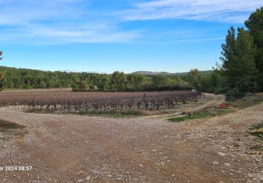
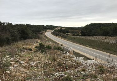
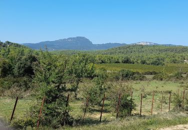
Tocht Te voet van 12,5 km beschikbaar op Occitanië, Hérault, Guzargues. Deze tocht wordt voorgesteld door guiller.
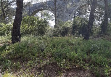
Guzargues, grand devois du lirou, antenne, chemin de crête en allant sur le nord, Redounel, sources de font counillière et font salaison, retour par autre chemin de crête

Stappen
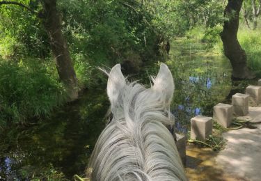
Paardrijden

Te voet

Stappen
Te voet
Stappen