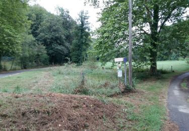
Tocht Te voet Billère - 2020-01-04_18h53m53_Cirkwi-Billère_-_Les_Rives_du_Gave - Photo

2020-01-04_18h53m53_Cirkwi-Billère_-_Les_Rives_du_Gave

 marmotte65
marmotte65

Gebruiker GUIDE

© OpenStreetMap contributors
Lengte
Lengte
5,6 km
Max. hoogte
Max. hoogte
201 m
Positief hoogteverschil
52 m
Km-Effort
Km-Effort  
6,3 km
Min. hoogte
Min. hoogte
163 m
Negatief hoogteverschil
52 m
Boucle
Boucle
Ja
Datum van aanmaak :
2020-01-04 17:53:53.404
Laatste wijziging :
2022-09-26 13:39:52.817

(0 Bericht)

Te voet
Te voet
--
Moeilijkheid : Heel gemakkelijk

Scan deze QR-code om de tocht te openen in de SityTrail-applicatie

Gratisgps-wandelapplicatie

Logo SityTrail SityTrail

IGN / Geografische instituten

SityTrail uit de App Store downloaden SityTrail uit Google Play downloaden

Logo SityTrail SityTrail World

De wereld gaat voor u open

SityTrail uit de App Store downloaden SityTrail uit Google Play downloaden SityTrail op Huawei AppGallery downloaden

Over ons

Tocht Te voet van 5,6 km beschikbaar op Nieuw-Aquitanië, Pyrénées-Atlantiques, Billère. Deze tocht wordt voorgesteld door marmotte65.

Beschrijving

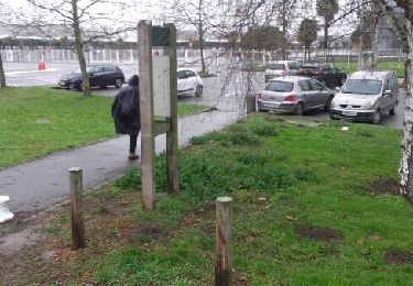
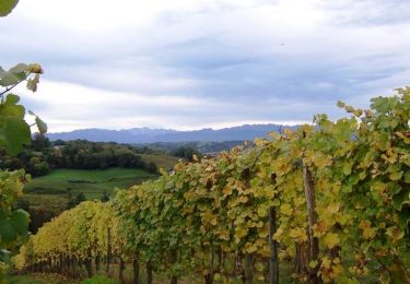
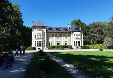
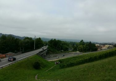
Les Berges du gave à Billère constituent un superbe espace au bord de l’eau, aménagé pour la détente et le sport. C’est aussi le départ de cette boucle qui nous fait suivre les rives du gave au plus près et parcourir des paysages emblématiques de Pau.  Départ : Parking - Berges du Gave - Rue de la Gravière - Billère Aucun Balisage

Hoogteprofiel

Plaatsbepaling

Land:
France
Regio :
Nieuw-Aquitanië
Departement/Provincie :
Pyrénées-Atlantiques
Gemeente :
Billère
Locatie:
Unknown
Vertrek:(Dec)
Vertrek:(UTM)
710587 ; 4796754 (30T) N.

Wandeltochten in de omgeving

Tocht Stappen Pau - Pau bois de bastard - Photo
Stappen
GUIDE
marmotte65

Stappen

Heel gemakkelijk
(1)
Pau, Nieuw-Aquitanië, Pyrénées-Atlantiques, France
5 km | 5,5 km-effort
1h 54min
Ja
Tocht Te voet Lescar - Lescar du 2018-06-24 - Photo
Te voet
GUIDE
marmotte65

Te voet

Heel gemakkelijk
(1)
Lescar, Nieuw-Aquitanië, Pyrénées-Atlantiques, France
7,6 km | 8,6 km-effort
Onbekend
Ja
Tocht Stappen Laroin - Les vignes en terrasses des collines de Jurançon - Photo
Stappen
tracegps

Stappen

Moeilijk
(3)
Laroin, Nieuw-Aquitanië, Pyrénées-Atlantiques, France
19,6 km | 27 km-effort
5h 0min
Ja
Tocht Stappen Pau - PAU RS entre jardins et villa quartier Trespoey
Stappen
GUIDE
marmotte65

Stappen

Medium
Pau, Nieuw-Aquitanië, Pyrénées-Atlantiques, France
5,5 km | 6,2 km-effort
1h 24min
Ja
Tocht Stappen Bizanos - BIZANOS RANDONNÉE PATRIMOINE   2868740 - Photo
Stappen
GUIDE
marmotte65

Stappen

Gemakkelijk
Bizanos, Nieuw-Aquitanië, Pyrénées-Atlantiques, France
7,6 km | 8,6 km-effort
1h 52min
Neen
Tocht Stappen Uzos - UZOS la boucle de la glandee  balisee le 29 07 20 - Photo
Stappen
GUIDE
marmotte65

Stappen

Medium
Uzos, Nieuw-Aquitanië, Pyrénées-Atlantiques, France
13,1 km | 17,3 km-effort
8h 14min
Ja
Tocht Te voet Bizanos - OT les hauteurs de Franqueville-fait - Photo
Te voet
GUIDE
marmotte65

Te voet

Heel gemakkelijk
(1)
Bizanos, Nieuw-Aquitanië, Pyrénées-Atlantiques, France
3,6 km | 4,5 km-effort
Onbekend
Ja
Tocht Mountainbike Gelos - Bizanos - Rando VTT Boucle Nousty - Stade d'eau vive de Pau - 32 Km - Photo
Mountainbike
potofe

Mountainbike

Medium
(1)
Gelos, Nieuw-Aquitanië, Pyrénées-Atlantiques, France
32 km | 38 km-effort
2h 32min
Ja
Tocht Stappen Pau - PAU Patrimoine LLD
Stappen
GUIDE
marmotte65

Stappen

Medium
Pau, Nieuw-Aquitanië, Pyrénées-Atlantiques, France
8,8 km | 10,4 km-effort
4h 24min
Ja


Sluiten
Mijn abonnementen