


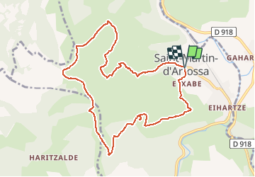

14,5 km | 26 km-effort


Gebruiker GUIDE


Gratisgps-wandelapplicatie
 SityTrail
IGN / Geografische instituten
SityTrail World
De wereld gaat voor u open
Tocht Te voet van 11 km beschikbaar op Nieuw-Aquitanië, Pyrénées-Atlantiques, Saint-Martin-d'Arrossa. Deze tocht wordt voorgesteld door marmotte65.
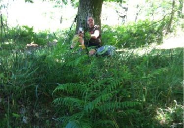
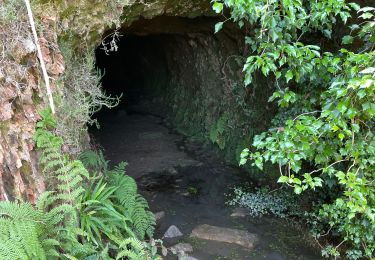
sentier de découverte expliquant ce qu' a été l'extraction du fer au début du 20eme siècle dans cette région.
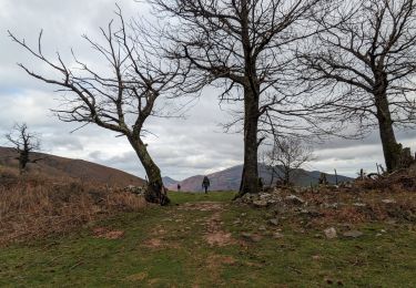
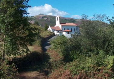
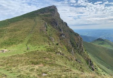
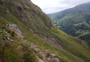
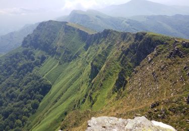
pas de difficulté , que de beaux paysages par beau temps
Stappen
Stappen
Stappen

Stappen
Stappen
Stappen
Stappen
Stappen

Stappen