


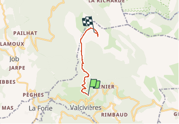

9,5 km | 13,3 km-effort

Gebruiker


Gratisgps-wandelapplicatie
 SityTrail
IGN / Geografische instituten
SityTrail World
De wereld gaat voor u open
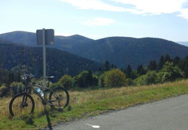
Tocht Stappen van 6,4 km beschikbaar op Auvergne-Rhône-Alpes, Puy-de-Dôme, Valcivières. Deze tocht wordt voorgesteld door pierrebmw84.
juste un allé jusque au sommet ... plus de batterie pour le retour donc compter 6 kms de plus pour redescendre


Stappen

Stappen

Te voet
Te voet
Te voet
Te voet
Te voet
Wegfiets
Stappen