![](/images/other/stat-length.png)
![Tocht Noisiel - 2019-12-20_17h13m10_SityTrail - 1127607 - noisiel-12x5-km - Photo](https://media.geolcdn.com/t/1900/400/ext.pjpeg?maxdim=2&url=https%3A%2F%2Fsecurestorage.geolives.com%2Fsitytour%2Ftrail-bg%2Fdefault.jpg)
2019-12-20_17h13m10_SityTrail - 1127607 - noisiel-12x5-km
mouma_77
Gebruiker
![Lengte](/images/other/stat-length.png)
Lengte
12,6 km
![Max. hoogte](https://static1.geolcdn.com/siteimages/upload/files/1508320355ic_sort_altitude_max_24dp.png)
Max. hoogte
83 m
![Positief hoogteverschil](https://static1.geolcdn.com/siteimages/upload/files/1508320355ic_sort_den_pos_24dp.png)
Positief hoogteverschil
117 m
![Km-Effort](/images/other/stat-length.png)
Km-Effort
14,1 km
![Min. hoogte](https://static1.geolcdn.com/siteimages/upload/files/1508320355ic_sort_altitude_min_24dp.png)
Min. hoogte
35 m
![Negatief hoogteverschil](https://static1.geolcdn.com/siteimages/upload/files/1508320355ic_sort_den_neg_24dp.png)
Negatief hoogteverschil
115 m
![Boucle](https://static1.geolcdn.com/siteimages/upload/files/16400158638029165_repeat_loop_refresh_sync_direction_icon.png)
Boucle
Ja
Datum van aanmaak :
2019-12-20 16:13:13.323
Laatste wijziging :
2019-12-20 16:13:24.357
![Scan deze QR-code om de tocht te openen in de SityTrail-applicatie](https://capi.geolives.com/qq0zvz2zws4bq2lad0pu/sitytour/trails/2288270/qr.png?size=200)
Gratisgps-wandelapplicatie
Over ons
Tocht van 12,6 km beschikbaar op Île-de-France, Seine-et-Marne, Noisiel. Deze tocht wordt voorgesteld door mouma_77.
Beschrijving
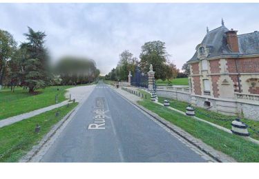
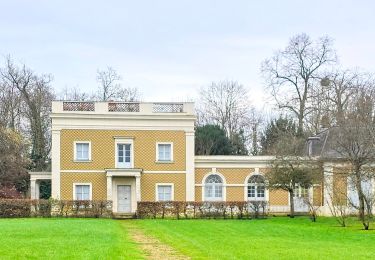
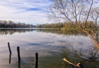
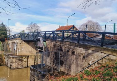
Randonnée assez facile de 12,( km de la chocolaterie à la Cité ouvrière puis vers les étangs et les bords de Marne, pour revenir par le parc de Noisiel
Plaatsbepaling
Land:
France
Regio :
Île-de-France
Departement/Provincie :
Seine-et-Marne
Gemeente :
Noisiel
Locatie:
Unknown
Vertrek:(Dec)
Vertrek:(UTM)
472408 ; 5411553 (31U) N.
Opmerkingen
Wandeltochten in de omgeving
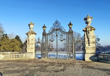
![Tocht Stappen Chelles - GRP CV-IDF 06 - Photo](https://media.geolcdn.com/t/375/260/3e851a57-05bf-470c-9490-37cd07bf40e9.jpg&format=jpg&maxdim=2)
![Stappen Stappen](https://static1.geolcdn.com/sitytour/trail-icons/101.png)
GRP CV-IDF 06
Stappen
Medium
(1)
Chelles,
Île-de-France,
Seine-et-Marne,
France
![](/images/other/stat-length.png)
15 km | 16,7 km-effort
3h 47min
![](https://static1.geolcdn.com/siteimages/upload/files/16400158638029165_repeat_loop_refresh_sync_direction_icon.png)
Neen
![Stappen Stappen](https://static1.geolcdn.com/sitytour/trail-icons/101.png)
Du Parc de Rentilly au Ru de la Gondoire
Stappen
Moeilijk
(1)
Saint-Thibault-des-Vignes,
Île-de-France,
Seine-et-Marne,
France
![](/images/other/stat-length.png)
21 km | 24 km-effort
5h 20min
![](https://static1.geolcdn.com/siteimages/upload/files/16400158638029165_repeat_loop_refresh_sync_direction_icon.png)
Ja
![Tocht Stappen Champs-sur-Marne - Boucle 20 km autour de Champs sur Marne - Photo](https://media.geolcdn.com/t/375/260/e5bc49c5-8534-4b14-8b85-21b9437dca8c.jpg&format=jpg&maxdim=2)
![Stappen Stappen](https://static1.geolcdn.com/sitytour/trail-icons/101.png)
Boucle 20 km autour de Champs sur Marne
Stappen
Gemakkelijk
Champs-sur-Marne,
Île-de-France,
Seine-et-Marne,
France
![](/images/other/stat-length.png)
19,8 km | 22 km-effort
4h 29min
![](https://static1.geolcdn.com/siteimages/upload/files/16400158638029165_repeat_loop_refresh_sync_direction_icon.png)
Ja
![Tocht Stappen Lognes - SityTrail - EvadRando2024-14km - Photo](https://media.geolcdn.com/t/375/260/ext.jpg?maxdim=2&url=https%3A%2F%2Fstatic1.geolcdn.com%2Fsiteimages%2Fupload%2Ffiles%2F1553511878bg_sport_marche.png)
![Stappen Stappen](https://static1.geolcdn.com/sitytour/trail-icons/101.png)
SityTrail - EvadRando2024-14km
Stappen
Moeilijk
(2)
Lognes,
Île-de-France,
Seine-et-Marne,
France
![](/images/other/stat-length.png)
12,3 km | 14,1 km-effort
3h 12min
![](https://static1.geolcdn.com/siteimages/upload/files/16400158638029165_repeat_loop_refresh_sync_direction_icon.png)
Ja
![Tocht Stappen Lognes - SityTrail - Lognes Pontault-Combault 15,4km - Photo](https://media.geolcdn.com/t/375/260/ext.jpg?maxdim=2&url=https%3A%2F%2Fstatic1.geolcdn.com%2Fsiteimages%2Fupload%2Ffiles%2F1553511878bg_sport_marche.png)
![Stappen Stappen](https://static1.geolcdn.com/sitytour/trail-icons/101.png)
SityTrail - Lognes Pontault-Combault 15,4km
Stappen
Moeilijk
(1)
Lognes,
Île-de-France,
Seine-et-Marne,
France
![](/images/other/stat-length.png)
16,7 km | 18,3 km-effort
4h 9min
![](https://static1.geolcdn.com/siteimages/upload/files/16400158638029165_repeat_loop_refresh_sync_direction_icon.png)
Ja
![Tocht Stappen Bussy-Saint-Georges - Boucle Rentilly - Noisiel - Etang de la Brosse - Etang de la Loy - Photo](https://media.geolcdn.com/t/375/260/2ae0fdb4-e8bd-41dd-b6e1-a0c5cc184bfe.jpg&format=jpg&maxdim=2)
![Stappen Stappen](https://static1.geolcdn.com/sitytour/trail-icons/101.png)
Boucle Rentilly - Noisiel - Etang de la Brosse - Etang de la Loy
Stappen
Zeer moeilijk
Bussy-Saint-Georges,
Île-de-France,
Seine-et-Marne,
France
![](/images/other/stat-length.png)
25 km | 29 km-effort
6h 32min
![](https://static1.geolcdn.com/siteimages/upload/files/16400158638029165_repeat_loop_refresh_sync_direction_icon.png)
Ja
![Tocht Stappen Vaires-sur-Marne - Boucle Vaires sur Marne / Noisiel / Chelles - Photo](https://media.geolcdn.com/t/375/260/449646ea-4419-47cd-8a7f-7bcc77625a1b.jpg&format=jpg&maxdim=2)
![Stappen Stappen](https://static1.geolcdn.com/sitytour/trail-icons/101.png)
Boucle Vaires sur Marne / Noisiel / Chelles
Stappen
Gemakkelijk
Vaires-sur-Marne,
Île-de-France,
Seine-et-Marne,
France
![](/images/other/stat-length.png)
21 km | 24 km-effort
4h 33min
![](https://static1.geolcdn.com/siteimages/upload/files/16400158638029165_repeat_loop_refresh_sync_direction_icon.png)
Ja
![Tocht Stappen Lognes - 12kmVM-année-paire - Photo](https://media.geolcdn.com/t/375/260/ext.jpg?maxdim=2&url=https%3A%2F%2Fstatic1.geolcdn.com%2Fsiteimages%2Fupload%2Ffiles%2F1553511878bg_sport_marche.png)
![Stappen Stappen](https://static1.geolcdn.com/sitytour/trail-icons/101.png)
12kmVM-année-paire
Stappen
Moeilijk
(1)
Lognes,
Île-de-France,
Seine-et-Marne,
France
![](/images/other/stat-length.png)
14,3 km | 16,3 km-effort
3h 42min
![](https://static1.geolcdn.com/siteimages/upload/files/16400158638029165_repeat_loop_refresh_sync_direction_icon.png)
Ja
![Tocht Stappen Gournay-sur-Marne - Boucle Gournay/ Marne - Noisy le Grand - Champs sur Marne - Photo](https://media.geolcdn.com/t/375/260/89921577-96fb-496f-92ce-fb28ab23f5a4.jpg&format=jpg&maxdim=2)
![Stappen Stappen](https://static1.geolcdn.com/sitytour/trail-icons/101.png)
Boucle Gournay/ Marne - Noisy le Grand - Champs sur Marne
Stappen
Heel gemakkelijk
Gournay-sur-Marne,
Île-de-France,
Seine-Saint-Denis,
France
![](/images/other/stat-length.png)
20 km | 23 km-effort
4h 41min
![](https://static1.geolcdn.com/siteimages/upload/files/16400158638029165_repeat_loop_refresh_sync_direction_icon.png)
Ja