


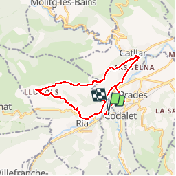

13,5 km | 17,2 km-effort


Gebruiker


Gratisgps-wandelapplicatie
 SityTrail
IGN / Geografische instituten
SityTrail World
De wereld gaat voor u open
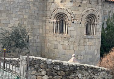
Tocht Lopen van 16,6 km beschikbaar op Occitanië, Pyrénées-Orientales, Ria-Sirach. Deze tocht wordt voorgesteld door zazie.
Marche et course


Stappen

Motor

Mountainbike


sport
Stappen
Stappen
Stappen
Stappen

Stappen