


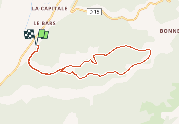

13,1 km | 18,2 km-effort


Gebruiker


Gratisgps-wandelapplicatie
 SityTrail
IGN / Geografische instituten
SityTrail World
De wereld gaat voor u open
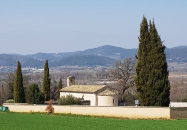
Tocht Te voet van 9,7 km beschikbaar op Provence-Alpes-Côte d'Azur, Alpes-de-Haute-Provence, Valensole. Deze tocht wordt voorgesteld door PITOUSSAINT.
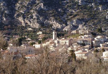
Très belle rando qui va vous mener près d'un chêne multi centenaire vers du vieux village de Maragonelle aujourd'hui en ruine.
Stappen

Mountainbike

Stappen

Stappen
Stappen
Stappen
Stappen
Te voet
Stappen