


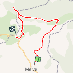

5,6 km | 13,4 km-effort


Gebruiker


Gratisgps-wandelapplicatie
 SityTrail
IGN / Geografische instituten
SityTrail World
De wereld gaat voor u open
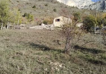
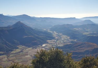
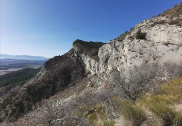
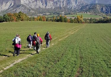
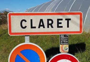
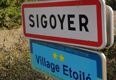
Tocht Stappen van 8,7 km beschikbaar op Provence-Alpes-Côte d'Azur, Alpes-de-Haute-Provence, Melve. Deze tocht wordt voorgesteld door PapouBertrand.
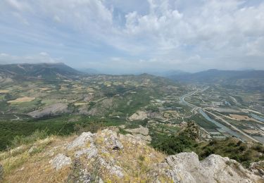
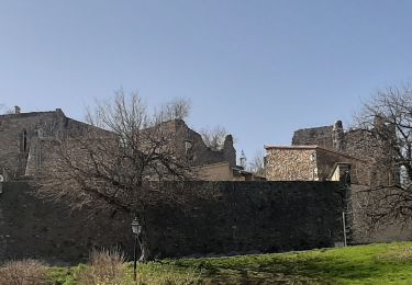
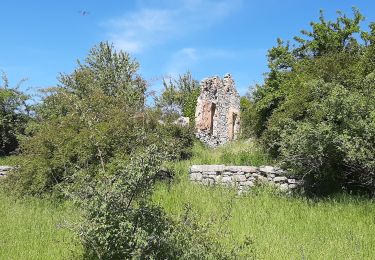
Randonnée Marche de 8,7 km et 580 mètres de dénivelé à découvrir à MELVE, ALPES-DE-HAUTE-PROVENCE.
Attention il faut deux voitures.


Stappen
Stappen
Stappen
Stappen
Stappen
Stappen
Stappen
Stappen
Stappen