


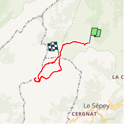

3,6 km | 6 km-effort


Gebruiker


Gratisgps-wandelapplicatie
 SityTrail
IGN / Geografische instituten
SityTrail World
De wereld gaat voor u open
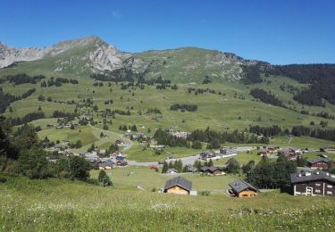
Tocht Andere activiteiten van 9 km beschikbaar op Waadland, District d'Aigle, Ormont-Dessous. Deze tocht wordt voorgesteld door Bachmann.
Belle randonnée, supérieure à celle de la tour d''Aï grâce à l''ambiance sauvage, les vues sur les parois, la diversité.
Le dénivelé calculé de 1190m paraît un peu élevé mais correspond à l''effort. Le dénivelé négatif s''arrête au point de rencontre de l''tinéraire d''aller.
Voir aussi la rando "Tour de Famelon - Tour de Mayen" proposée par Romrando. On passe le long de murs utilisés pour l''entrainement à la varappe après Les Chaux. Le lapiaz pour attiendre Sur les Truex sont un peu chronophages. Le dernier ressaut de la tour de Mayen conprend un passage raide muni chaîne.
Te voet

Stappen
Stappen
Stappen
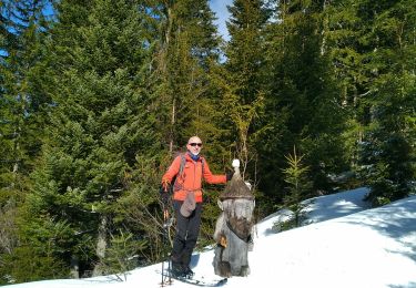
Ski randonnée

Stappen
Stappen

Wintersport
Stappen