9,2 km | 11,6 km-effort
Villiersfaux
guydu41
Gebruiker
Lengte
10,9 km
Max. hoogte
122 m
Positief hoogteverschil
103 m
Km-Effort
12,2 km
Min. hoogte
88 m
Negatief hoogteverschil
103 m
Boucle
Ja
Datum van aanmaak :
2019-11-05 12:48:24.462
Laatste wijziging :
2019-11-05 15:20:30.85
2h30
Moeilijkheid : Heel gemakkelijk
Gratisgps-wandelapplicatie
Over ons
Tocht Stappen van 10,9 km beschikbaar op Centre-Val de Loire, Loir-et-Cher, Villiersfaux. Deze tocht wordt voorgesteld door guydu41.
Beschrijving
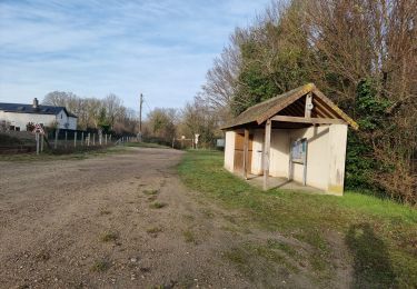
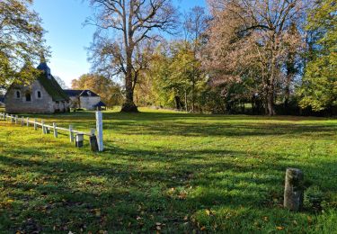
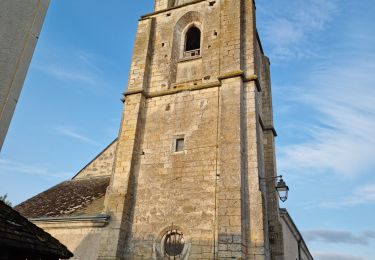
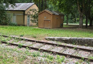
Petite rando très facile à la découverte de trois sites archéologiques.
Plaatsbepaling
Land:
France
Regio :
Centre-Val de Loire
Departement/Provincie :
Loir-et-Cher
Gemeente :
Villiersfaux
Locatie:
Unknown
Vertrek:(Dec)
Vertrek:(UTM)
349307 ; 5290259 (31T) N.
Opmerkingen
Wandeltochten in de omgeving
Thoré-la-Rochette - Vallée et Coteaux du Loir
Stappen
Medium
Thoré-la-Rochette,
Centre-Val de Loire,
Loir-et-Cher,
France
2h 38min
Ja
Varennes
Stappen
Gemakkelijk
Marcilly-en-Beauce,
Centre-Val de Loire,
Loir-et-Cher,
France
7,9 km | 9,1 km-effort
2h 3min
Ja
Château de la Mézière - Asnières
Stappen
Medium
Lunay,
Centre-Val de Loire,
Loir-et-Cher,
France
7,4 km | 8,5 km-effort
1h 56min
Ja
Houssay
Stappen
Medium
Houssay,
Centre-Val de Loire,
Loir-et-Cher,
France
11,5 km | 14,3 km-effort
2h 36min
Ja
Sasnières - Forêt de Prunay
Stappen
Medium
Sasnières,
Centre-Val de Loire,
Loir-et-Cher,
France
10,6 km | 12,4 km-effort
2h 48min
Ja
Thoré-la-Rochette
Stappen
Medium
Thoré-la-Rochette,
Centre-Val de Loire,
Loir-et-Cher,
France
9,5 km | 11,1 km-effort
2h 31min
Ja
Circuit au lieu-dit Bordebeure Marcilly-en-Beauce
Stappen
Medium
Naveil,
Centre-Val de Loire,
Loir-et-Cher,
France
5,3 km | 6,5 km-effort
1h 30min
Ja
Circuit Promenades et Randonnées (PR) "Les Manières"
Stappen
Gemakkelijk
Houssay,
Centre-Val de Loire,
Loir-et-Cher,
France
12,4 km | 14,8 km-effort
2h 48min
Ja
Mondétour
Stappen
Gemakkelijk
Naveil,
Centre-Val de Loire,
Loir-et-Cher,
France
7,9 km | 9,4 km-effort
2h 34min
Ja