


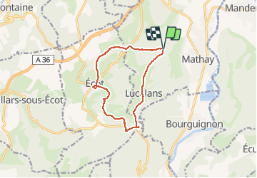

9,6 km | 13,2 km-effort


Gebruiker


Gratisgps-wandelapplicatie
 SityTrail
IGN / Geografische instituten
SityTrail World
De wereld gaat voor u open
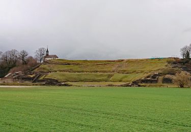
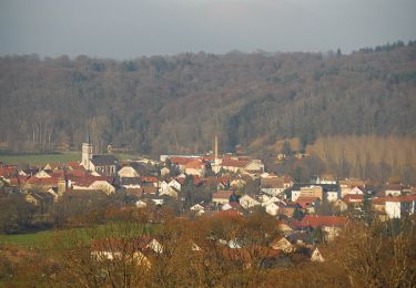
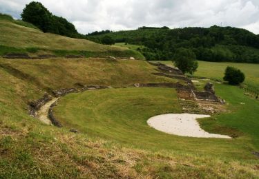
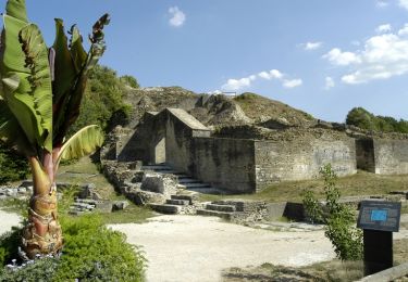
Tocht Stappen van 11,1 km beschikbaar op Bourgondië-Franche-Comté, Doubs, Mathay. Deze tocht wordt voorgesteld door signorato.
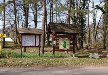
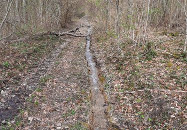
depart la fourche direction la forêt puis chemin de la memoire
puis Ecot puis monument guerre 40 45 puis retour par la route de LUcelans
Stappen

Stappen
Andere activiteiten
Stappen
Stappen

Stappen
Mountainbike
Fiets
Stappen