


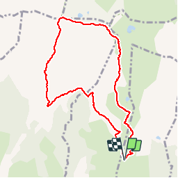

12,7 km | 27 km-effort


Gebruiker


Gratisgps-wandelapplicatie
 SityTrail
IGN / Geografische instituten
SityTrail World
De wereld gaat voor u open
Tocht Stappen van 9,4 km beschikbaar op Occitanië, Ariège, Vernaux. Deze tocht wordt voorgesteld door dawed311.
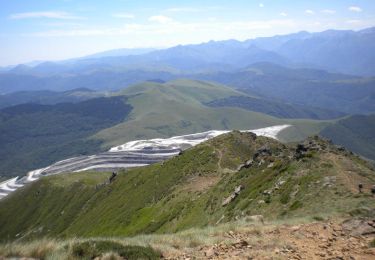
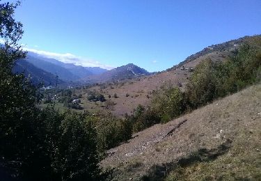
Boucle sur les principaux sommets du massif de la Tabe, bien moins fréquenté que les autres accès. Prendre si possible la pause au Pic de Soularac, le Saint Barthelemy étant bien moins confidentiel. La randonnée offre un panorama exceptionnel du Canigou au Pic de Midi.
Stappen
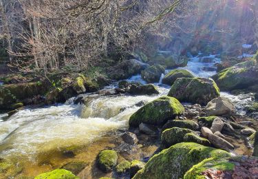
Stappen
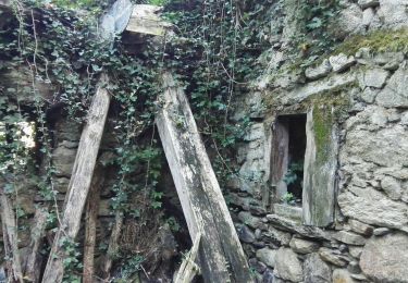
Stappen

Stappen
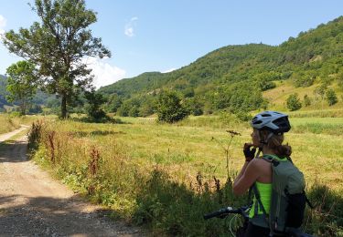
Mountainbike
Stappen

Stappen
Stappen