


14,8 km | 19,1 km-effort


Gebruiker


Gratisgps-wandelapplicatie
 SityTrail
IGN / Geografische instituten
SityTrail World
De wereld gaat voor u open
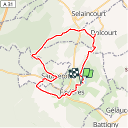
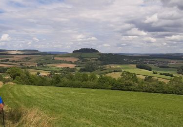
Tocht Stappen van 14,2 km beschikbaar op Grand Est, Meurthe-et-Moselle, Favières. Deze tocht wordt voorgesteld door joelclaudel.
Belle randonnée variée.
Départ parking de la base de loisirs de Favières.
Balisage anneau vert.
En réalité 14,4 km dénivelé 230 m.
Te voet
Te voet
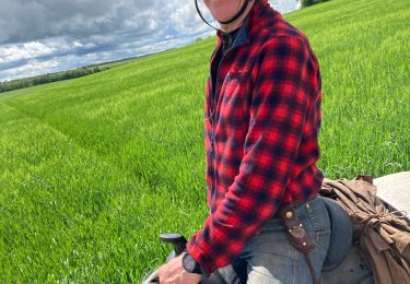
Paardrijden
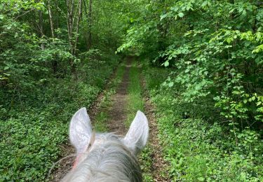
Paardrijden
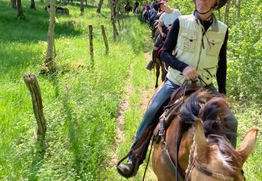
Paardrijden
Noords wandelen

Paard
Paardrijden

Stappen