


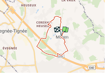

7,7 km | 10,1 km-effort


Gebruiker


Gratisgps-wandelapplicatie
 SityTrail
IGN / Geografische instituten
SityTrail World
De wereld gaat voor u open
Tocht Te voet van 5,4 km beschikbaar op Wallonië, Luik, Soumagne. Deze tocht wordt voorgesteld door gcolson.
Eglise Saint André à Cerexhe (église du 15ieme siècle et classée)
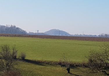
L' arbre à biscuits dans le Bois Halleux
Eglise Saint Job à Melen
Le puits derrière l'eglise de Cerexhe

Stappen

Stappen

Stappen

Stappen

Stappen

Stappen

Stappen
Stappen

Stappen