


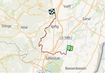


13,2 km | 14,6 km-effort

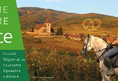
Promouvoir le Tourisme Equestre en Alsace GUIDE+


Gratisgps-wandelapplicatie
 SityTrail
IGN / Geografische instituten
SityTrail World
De wereld gaat voor u open
Tocht Paardrijden van 31 km beschikbaar op Grand Est, Bas-Rhin, Muttersholtz. Deze tocht wordt voorgesteld door Tourisme Equestre Alsace.
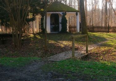
Circuit VC Muttersholtz Saint Pierre


Stappen
Te voet
Te voet
Stappen
Stappen

Stappen
Paardrijden

Stappen
Stappen