


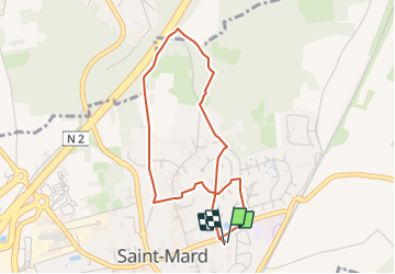

7,9 km | 8,9 km-effort
Randonner avec bonne humeur et convivialité. (Inscription réservée uniquement aux animateurs de GOËLE RANDO)


Gratisgps-wandelapplicatie
 SityTrail
IGN / Geografische instituten
SityTrail World
De wereld gaat voor u open
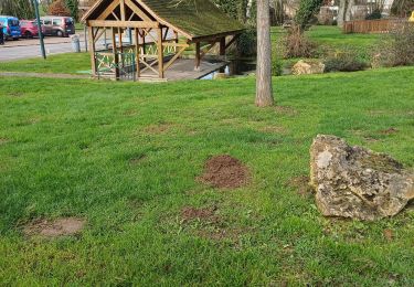
Tocht Te voet van 3,6 km beschikbaar op Île-de-France, Seine-et-Marne, Saint-Mard. Deze tocht wordt voorgesteld door GOELE RANDO.
https://www.sitytrail.com/fr/
DAMMARTIN en GOËLE 77

Stappen

Stappen

Stappen
Stappen

Stappen

Stappen

Stappen
Stappen
Stappen
hhhhhh