


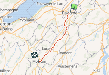

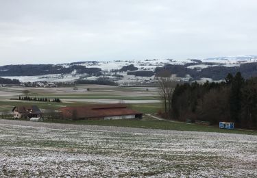
7,7 km | 10,5 km-effort


Gebruiker


Gratisgps-wandelapplicatie
 SityTrail
IGN / Geografische instituten
SityTrail World
De wereld gaat voor u open
Tocht Andere activiteiten van 25 km beschikbaar op Waadland, District de la Broye-Vully, Payerne. Deze tocht wordt voorgesteld door hallauer.
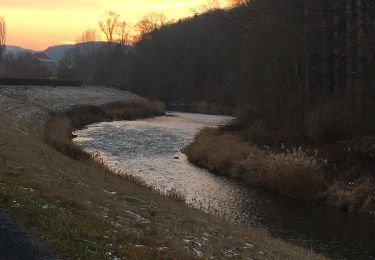
16. Pilgeretappetappe 2006 von Payerne nach Moudon. Übernachten in Moudon. Anderntags 17. Pilger- und Schlussetappe von Moudon nach Lausanne.
Stappen
Stappen
Stappen
Stappen

Fiets
Fiets
Fiets

Fiets
Fiets