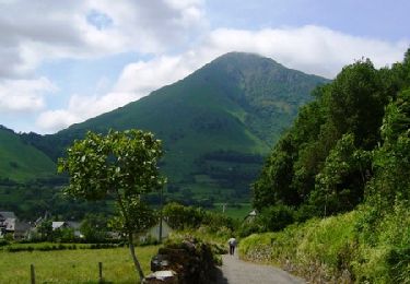
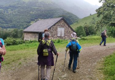
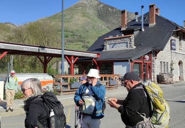
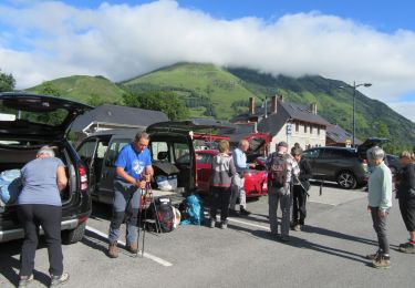
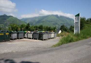
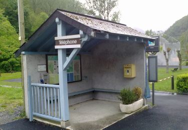
Tocht  Accous - 2019-10-09_12h26m03_VTTBedous - Photo

2019-10-09_12h26m03_VTTBedous

 yvesdelafforest
yvesdelafforest

Gebruiker

© OpenStreetMap contributors
Lengte
Lengte
26 km
Max. hoogte
Max. hoogte
1295 m
Positief hoogteverschil
1390 m
Km-Effort
Km-Effort  
45 km
Min. hoogte
Min. hoogte
425 m
Negatief hoogteverschil
1389 m
Boucle
Boucle
Ja
Datum van aanmaak :
2019-10-09 10:26:03.584
Laatste wijziging :
2019-10-09 10:26:05.012

(0 Bericht)


Scan deze QR-code om de tocht te openen in de SityTrail-applicatie

Gratisgps-wandelapplicatie

Logo SityTrail SityTrail

IGN / Geografische instituten

SityTrail uit de App Store downloaden SityTrail uit Google Play downloaden

Logo SityTrail SityTrail World

De wereld gaat voor u open

SityTrail uit de App Store downloaden SityTrail uit Google Play downloaden SityTrail op Huawei AppGallery downloaden

Over ons

Tocht van 26 km beschikbaar op Nieuw-Aquitanië, Pyrénées-Atlantiques, Accous. Deze tocht wordt voorgesteld door yvesdelafforest.
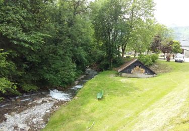
Hoogteprofiel

Plaatsbepaling

Land:
France
Regio :
Nieuw-Aquitanië
Departement/Provincie :
Pyrénées-Atlantiques
Gemeente :
Accous
Locatie:
Unknown
Vertrek:(UTM)
695741 ; 4760722 (30T) N.

Wandeltochten in de omgeving

Tocht Stappen Bedous - Le Tour de Saudious - Photo
Stappen
tracegps

Stappen

Medium
(1)
Bedous, Nieuw-Aquitanië, Pyrénées-Atlantiques, France
6 km | 8,7 km-effort
1h 30min
Ja
Tocht Stappen Bedous - BEDOUS le tour du Pouey autrement
Stappen
GUIDE
marmotte65

Stappen

Moeilijk
Bedous, Nieuw-Aquitanië, Pyrénées-Atlantiques, France
9 km | 13,4 km-effort
3h 2min
Ja
Tocht Te voet Bedous - BEDOUS les chemins du gaves G4
Te voet
GUIDE
marmotte65

Te voet

Gemakkelijk
Bedous, Nieuw-Aquitanië, Pyrénées-Atlantiques, France
11,2 km | 12,9 km-effort
2h 55min
Ja
Tocht Te voet Bedous - BEDOUS Le tour du Bugala par Osse en Aspe - Photo
Te voet
GUIDE
marmotte65

Te voet

Gemakkelijk
Bedous, Nieuw-Aquitanië, Pyrénées-Atlantiques, France
11,6 km | 16,8 km-effort
3h 56min
Ja
Tocht Te voet Accous - Sommet du Poey asp122 - Photo
Te voet
GUIDE+

Te voet

Gemakkelijk
Accous, Nieuw-Aquitanië, Pyrénées-Atlantiques, France
3,5 km | 5,7 km-effort
1h 17min
Ja
Tocht Te voet Cette-Eygun - Granges de Cette asp56 - Photo
Te voet
GUIDE+

Te voet

Gemakkelijk
Cette-Eygun, Nieuw-Aquitanië, Pyrénées-Atlantiques, France
5,4 km | 10,2 km-effort
2h 18min
Ja
Tocht Te voet Cette-Eygun - Cabane de Lhèze asp116 - Photo
Te voet
GUIDE+

Te voet

Gemakkelijk
Cette-Eygun, Nieuw-Aquitanië, Pyrénées-Atlantiques, France
3,6 km | 9,7 km-effort
2h 11min
Neen
Tocht Te voet Cette-Eygun - Cabanes de Narbèze asp117 - Photo
Te voet
GUIDE+

Te voet

Gemakkelijk
Cette-Eygun, Nieuw-Aquitanië, Pyrénées-Atlantiques, France
6,5 km | 16,6 km-effort
3h 45min
Neen
Tocht Te voet Cette-Eygun - Tour de Lasies asp115 - Photo
Te voet
GUIDE+

Te voet

Gemakkelijk
Cette-Eygun, Nieuw-Aquitanië, Pyrénées-Atlantiques, France
4,3 km | 8,7 km-effort
1h 59min
Neen


Sluiten
Mijn abonnementen