


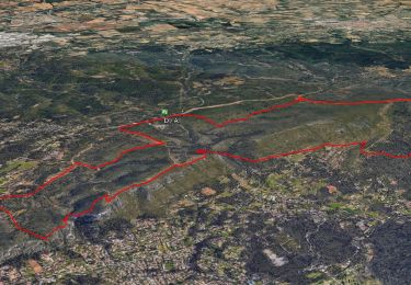
11,8 km | 15,5 km-effort

être à l'heure


Gratisgps-wandelapplicatie
 SityTrail
IGN / Geografische instituten
SityTrail World
De wereld gaat voor u open
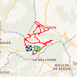
Tocht Mountainbike van 23 km beschikbaar op Provence-Alpes-Côte d'Azur, Bouches-du-Rhône, La Bouilladisse. Deze tocht wordt voorgesteld door JeudaÏ.
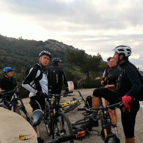
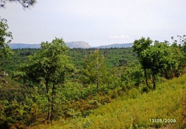
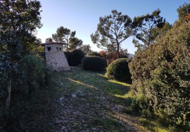
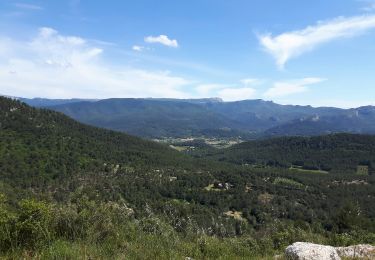
Jolie tour dans le massif du Regagnas. Une multitude de single en descente accessible par des remontés plutôt bien roulantes!

Mountainbike

Stappen
Stappen

Te voet

Stappen

Te voet
Stappen
Mountainbike
Stappen