

Pacerpoles First Outing

livfoss
Gebruiker

Lengte
11,2 km

Max. hoogte
246 m

Positief hoogteverschil
176 m

Km-Effort
13,5 km

Min. hoogte
130 m

Negatief hoogteverschil
176 m
Boucle
Ja
Datum van aanmaak :
2014-12-10 00:00:00.0
Laatste wijziging :
2014-12-10 00:00:00.0
2h57
Moeilijkheid : Gemakkelijk

Gratisgps-wandelapplicatie
Over ons
Tocht Stappen van 11,2 km beschikbaar op Occitanië, Aude, Raissac-sur-Lampy. Deze tocht wordt voorgesteld door livfoss.
Beschrijving
Walking with poles: Raissac. St Martin, Villelongue, La Migance, Raissac.
This was a test of new, innovative trekking poles. See
http://www.pacerpole.com/
POI's
Plaatsbepaling
Land:
France
Regio :
Occitanië
Departement/Provincie :
Aude
Gemeente :
Raissac-sur-Lampy
Locatie:
Unknown
Vertrek:(Dec)
Vertrek:(UTM)
431837 ; 4791903 (31T) N.
Opmerkingen
Wandeltochten in de omgeving

Montolieu Moulins de la Dure


Stappen
Gemakkelijk
(1)
Montolieu,
Occitanië,
Aude,
France

6,6 km | 8,7 km-effort
2h 0min
Ja

11_Saint Martin le Vieil


Stappen
Medium
(1)
Saint-Martin-le-Vieil,
Occitanië,
Aude,
France

17,6 km | 23 km-effort
4h 31min
Ja
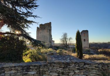
le sentier de St Martin


Stappen
Gemakkelijk
Saint-Martin-le-Vieil,
Occitanië,
Aude,
France

31 km | 38 km-effort
3h 35min
Neen
Raissac to Villelongue via La Combe Belle


Stappen
Medium
Raissac-sur-Lampy,
Occitanië,
Aude,
France

13,4 km | 16,9 km-effort
3h 38min
Ja
Raissac to Villelongue via La Combe Belle


Stappen
Medium
Raissac-sur-Lampy,
Occitanië,
Aude,
France

13,4 km | 16,8 km-effort
3h 38min
Ja
Raissac to Villelongue via La Combe Belle


Stappen
Medium
Raissac-sur-Lampy,
Occitanië,
Aude,
France

13,4 km | 16,9 km-effort
3h 38min
Ja
2024_07_20_bram_Trebes


Elektrische fiets
Heel gemakkelijk
Bram,
Occitanië,
Aude,
France

40 km | 43 km-effort
Onbekend
Neen
Villespy


Stappen
Heel gemakkelijk
Villespy,
Occitanië,
Aude,
France

13,8 km | 16,9 km-effort
6h 56min
Ja

le Cap de Pic


Stappen
Gemakkelijk
Saint-Martin-le-Vieil,
Occitanië,
Aude,
France

6,9 km | 9 km-effort
1h 53min
Ja


 SityTrail




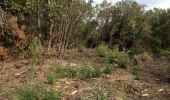


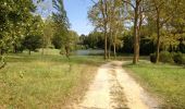


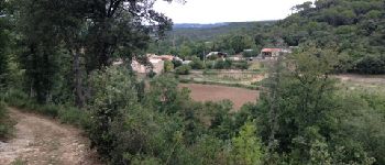


Nice, varied walk - but I'm biased!