


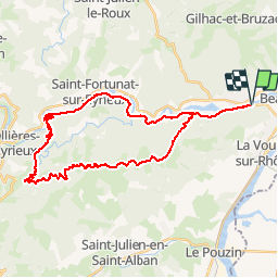

13,9 km | 22 km-effort


Gebruiker


Gratisgps-wandelapplicatie
 SityTrail
IGN / Geografische instituten
SityTrail World
De wereld gaat voor u open
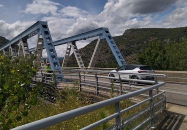
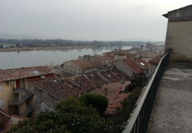
Tocht Elektrische fiets van 36 km beschikbaar op Auvergne-Rhône-Alpes, Ardèche, Saint-Laurent-du-Pape. Deze tocht wordt voorgesteld door chevallier.
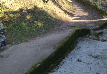
Circuit via douce La Voulte Les Ollières retoutretour par St Cierge avec évitement de la départementale entre les Ollières et Privas ainsi que de la traversée du La Voulte.
Stappen
Stappen
Stappen
Wegfiets
Stappen

Stappen
Stappen
Stappen
Stappen