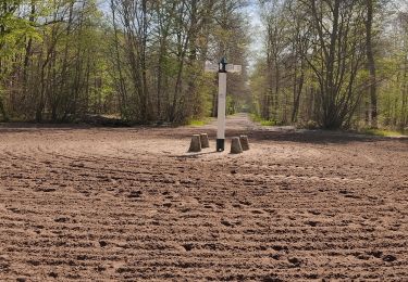
8,2 km | 9,2 km-effort
VTT mi route / mi chemin
doloop
Gebruiker
Lengte
33 km
Max. hoogte
114 m
Positief hoogteverschil
288 m
Km-Effort
37 km
Min. hoogte
42 m
Negatief hoogteverschil
287 m
Boucle
Ja
Datum van aanmaak :
2014-12-10 00:00:00.0
Laatste wijziging :
2014-12-10 00:00:00.0
2h31
Moeilijkheid : Gemakkelijk
Gratisgps-wandelapplicatie
Over ons
Tocht Mountainbike van 33 km beschikbaar op Hauts-de-France, Oise, Chantilly. Deze tocht wordt voorgesteld door doloop.
Beschrijving
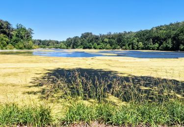
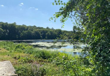
Foret d'halatte
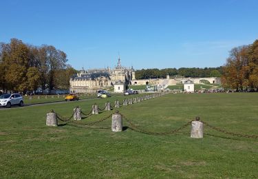
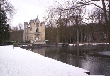
Quelques monuments,
peu dénivelé,
peu fréquenté.
Plaatsbepaling
Land:
France
Regio :
Hauts-de-France
Departement/Provincie :
Oise
Gemeente :
Chantilly
Locatie:
Unknown
Vertrek:(Dec)
Vertrek:(UTM)
461913 ; 5449206 (31U) N.
Opmerkingen
Wandeltochten in de omgeving
Boucle autour des étangs de Commelles
Stappen
Heel gemakkelijk
Coye-la-Forêt,
Hauts-de-France,
Oise,
France
23 km | 26 km-effort
5h 5min
Ja
Mongrésin Grand parcours
Stappen
Gemakkelijk
(1)
Orry-la-Ville,
Hauts-de-France,
Oise,
France
21 km | 24 km-effort
5h 12min
Ja
apremont 60300
Stappen
Moeilijk
(1)
Apremont,
Hauts-de-France,
Oise,
France
20 km | 23 km-effort
4h 49min
Ja
chantilly Gouvieux
Stappen
Gemakkelijk
Chantilly,
Hauts-de-France,
Oise,
France
20 km | 0 m-effort
5h 59min
Ja
Du GR 655 au GR14
Te voet
Gemakkelijk
Coye-la-Forêt,
Hauts-de-France,
Oise,
France
3,7 km | 4,1 km-effort
56min
Neen
Chantilly Etanf reine Blanche
Stappen
Moeilijk
Coye-la-Forêt,
Hauts-de-France,
Oise,
France
14,9 km | 16,8 km-effort
3h 18min
Ja
Étangs de Commelles
Lopen
Orry-la-Ville,
Hauts-de-France,
Oise,
France
7,8 km | 8,7 km-effort
1h 5min
Ja
randonnée en forêt de chantilly
Stappen
Heel gemakkelijk
Avilly-Saint-Léonard,
Hauts-de-France,
Oise,
France
12,1 km | 13,2 km-effort
2h 54min
Ja