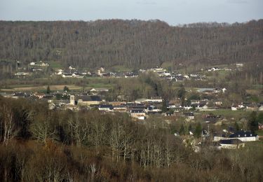
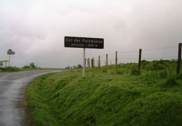
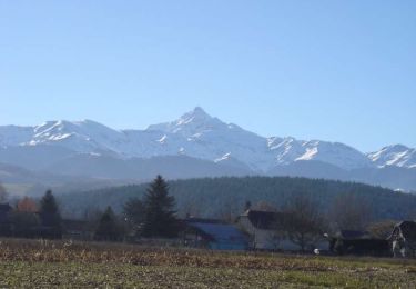
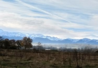
11,4 km | 14,4 km-effort
Becut - Stele - Chemins
PAGESRaymond
Gebruiker
Lengte
5,9 km
Max. hoogte
493 m
Positief hoogteverschil
133 m
Km-Effort
7,7 km
Min. hoogte
387 m
Negatief hoogteverschil
133 m
Boucle
Ja
Datum van aanmaak :
2019-09-23 08:14:56.0
Laatste wijziging :
2019-09-23 09:46:34.149
1h32
Moeilijkheid : Onbekend
Gratisgps-wandelapplicatie
Over ons
Tocht Stappen van 5,9 km beschikbaar op Occitanië, Hautes-Pyrénées, Saint-Martin. Deze tocht wordt voorgesteld door PAGESRaymond.
Beschrijving
Avec Bayla
Plaatsbepaling
Land:
France
Regio :
Occitanië
Departement/Provincie :
Hautes-Pyrénées
Gemeente :
Saint-Martin
Locatie:
Unknown
Vertrek:(Dec)
Vertrek:(UTM)
261936 ; 4782010 (31T) N.
Opmerkingen
Wandeltochten in de omgeving
Averan les crêtes court
Andere activiteiten
Gemakkelijk
(1)
Lanne,
Occitanië,
Hautes-Pyrénées,
France
10 km | 12,6 km-effort
2h 20min
Ja
montgaillard G2
Stappen
Heel gemakkelijk
(1)
Montgaillard,
Occitanië,
Hautes-Pyrénées,
France
10,4 km | 14,2 km-effort
3h 0min
Ja
Autour de Bagnères-de-bigorre
Mountainbike
Moeilijk
Vielle-Adour,
Occitanië,
Hautes-Pyrénées,
France
39 km | 51 km-effort
3h 15min
Ja
Bagnères-de-Bigorre - Montgaillard
Mountainbike
Medium
Vielle-Adour,
Occitanië,
Hautes-Pyrénées,
France
38 km | 48 km-effort
3h 0min
Ja
bernac les deux fait
Stappen
Heel gemakkelijk
Bernac-Debat,
Occitanië,
Hautes-Pyrénées,
France
7,8 km | 9,2 km-effort
2h 40min
Ja
montgaillard brouillon
Noords wandelen
Gemakkelijk
Montgaillard,
Occitanië,
Hautes-Pyrénées,
France
6,9 km | 9 km-effort
1h 38min
Ja
Horgues Odos
Noords wandelen
Gemakkelijk
Horgues,
Occitanië,
Hautes-Pyrénées,
France
9,1 km | 9,8 km-effort
2h 3min
Ja
Espace VTT FFC Haute Bigorre - Circuit n° 14 - Les Puyolles
Mountainbike
Medium
Montgaillard,
Occitanië,
Hautes-Pyrénées,
France
6,7 km | 8,7 km-effort
1h 0min
Ja