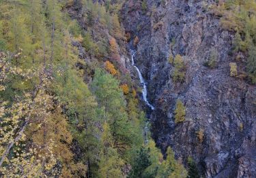
4,4 km | 7,1 km-effort
Boucle de Louch
Renefrt
Gebruiker
Lengte
12,8 km
Max. hoogte
1219 m
Positief hoogteverschil
503 m
Km-Effort
19,5 km
Min. hoogte
843 m
Negatief hoogteverschil
502 m
Boucle
Ja
Datum van aanmaak :
2019-09-19 06:12:39.281
Laatste wijziging :
2019-09-19 11:52:08.997
5h37
Moeilijkheid : Gemakkelijk
Gratisgps-wandelapplicatie
Over ons
Tocht Stappen van 12,8 km beschikbaar op Provence-Alpes-Côte d'Azur, Alpes-Maritimes, Isola. Deze tocht wordt voorgesteld door Renefrt.
Beschrijving
les 3/4 sur piste
Plaatsbepaling
Land:
France
Regio :
Provence-Alpes-Côte d'Azur
Departement/Provincie :
Alpes-Maritimes
Gemeente :
Isola
Locatie:
Unknown
Vertrek:(Dec)
Vertrek:(UTM)
344006 ; 4894407 (32T) N.
Opmerkingen
Wandeltochten in de omgeving
Châtaigneraie ISOLA
Stappen
Heel gemakkelijk
(1)
Isola,
Provence-Alpes-Côte d'Azur,
Alpes-Maritimes,
France
2h 9min
Ja
Tour du Lausfer 25.8.24
Stappen
Medium
Vinadio,
Piëmont,
Cuneo,
Italy
9 km | 16,2 km-effort
3h 30min
Ja
Fontaine St Laurent par Collet de Léchio et Cascade de Louch Isola Village
Stappen
Gemakkelijk
Isola,
Provence-Alpes-Côte d'Azur,
Alpes-Maritimes,
France
9,5 km | 16,3 km-effort
4h 44min
Ja
Lacs du Lausfer / pas de Ste Anne
Stappen
Gemakkelijk
Isola,
Provence-Alpes-Côte d'Azur,
Alpes-Maritimes,
France
9,7 km | 20 km-effort
3h 9min
Ja
St Anna di Vinadio
Stappen
Gemakkelijk
Vinadio,
Piëmont,
Cuneo,
Italy
9,6 km | 16,4 km-effort
3h 30min
Ja
Boucle de Louch
Te voet
Gemakkelijk
Isola,
Provence-Alpes-Côte d'Azur,
Alpes-Maritimes,
France
4,6 km | 9,3 km-effort
2h 6min
Ja
Col de la Guercha
Stappen
Zeer moeilijk
Isola,
Provence-Alpes-Côte d'Azur,
Alpes-Maritimes,
France
11,3 km | 27 km-effort
5h 4min
Ja
giro di lagi (les lacs de Lausfer)
Stappen
Medium
Vinadio,
Piëmont,
Cuneo,
Italy
9,1 km | 15,9 km-effort
4h 26min
Ja
Chapelle Ste Eurosie
Stappen
Medium
Isola,
Provence-Alpes-Côte d'Azur,
Alpes-Maritimes,
France
6,9 km | 17,6 km-effort
4h 44min
Ja
On peut commencer cette randonnée par la droite ou la gauche