


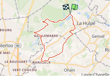


23 km | 28 km-effort

Randonnez sur et autour des GR ® wallons (Sentiers de Grande Randonnée). PRO


Gratisgps-wandelapplicatie
 SityTrail
IGN / Geografische instituten
SityTrail World
De wereld gaat voor u open
Tocht Stappen van 14,3 km beschikbaar op Wallonië, Waals-Brabant, Terhulpen. Deze tocht wordt voorgesteld door GR Rando.
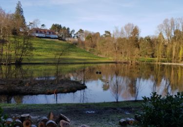
La Hulpe – Fondation Folon – La Hulpe
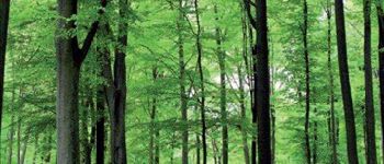
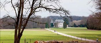
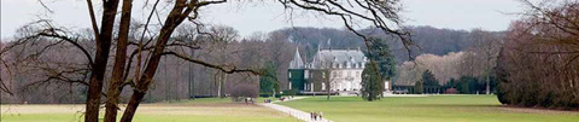
Cette randonnée parcourt principalement la forêt de Soignes. Vous achèverez votre périple dans une partie du très avenant domaine Solvay. Toutefois, avant de pénétrer dans la vaste hêtraie-cathédrale, vous passerez dans un milieu campagnard des plus variés. En effet, la contrée, bien qu’assez peuplée, a su conserver nombre de ses sentiers, chemins et… pavés typiques.
Cartographie et documentation
Cartes IGN au 1 :20 000, 31/7-8 « Uccle – Tervuren » et 39/3-4 « Waterloo – La Hulpe ».
Carte touristique et carte topographique au 1:20 000 « La Forêt de Soignes et ses
alentours », accompagnée d’un livret, éditée par la Fondation Roi Baudouin et l’IGN.
Topo-guide du GR 126 « Bruxelles – Namur – Membre-sur-Semois ».
Où se désaltérer et se restaurer
Une seule possibilité : la taverne de l’Homme bleu à la fondation Folon.
Elle est ouverte de 11 à 18 heures, du mardi au dimanche. Petite restauration.


Stappen

Mountainbike

Stappen

Stappen

Mountainbike

Stappen
Stappen
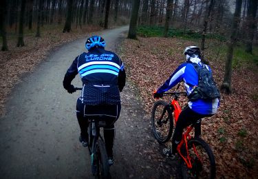
Mountainbike
Stappen
Top
Super mix d’un peu de tout
Nath est là
A pleasant hike. The second part through the sentiers and forest was nicer than the first part through a neighborhood. Some of the narrow hidden paths a little harder to find.
l'eau paresseuse comme un dimanche
Mal indiquée, sourtout au debout. Trop de béton..
Belle rando variée dans les types de chemin, mais très mal balisée u début. De plus erreur sur la carte par rapport au balisage GR dans le denier tiers. Impossible à faire sans le GPS ou le mobile.