


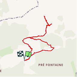

8,5 km | 15,9 km-effort

Gebruiker GUIDE


Gratisgps-wandelapplicatie
 SityTrail
IGN / Geografische instituten
SityTrail World
De wereld gaat voor u open
Tocht Stappen van 9,6 km beschikbaar op Provence-Alpes-Côte d'Azur, Hautes-Alpes, Montmaur. Deze tocht wordt voorgesteld door nadd73.
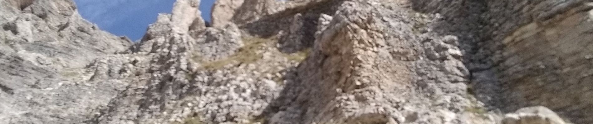
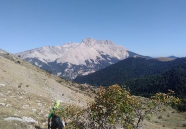
montée au pas de Paul escalier et pas d'escalade, mais comme nous ne savons pas ce qui nous attendait derrière nous avons renoncé.
Très exposée et un pas d'escalade. Pentes très raide à monter


Stappen

Stappen

Stappen

Stappen

Stappen

Stappen

Stappen

Stappen
Stappen